Warlow geodata
Warlow (Mecklenburg-Vorpommern) is a populated place; located in Germany in Europe/Berlin (GMT+2) time zone. With population of 518 people, there are 9265 cities with bigger population in this country. Compared to other cities in Germany, 84.1% of cities are located further ↓South; 72.7% of cities are located further ←West and 83.2% of cities have higher elevation than Warlow. Note1
Administrative division(s):
- Level 1: Mecklenburg-Vorpommern
- Level 3: Ludwigslust-Parchim
- Level 4: Warlow


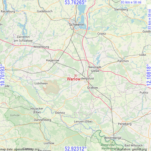
Warlow GPS coordinates[2]
53° 20' 41.82" North, 11° 24' 18.18" East
| Map corner | latitude | longitude |
|---|---|---|
| Upper-left | 53.76265°, | 10.70193° |
| Center: | 53.34495°, | 11.40505° |
| Lower-right: | 52.92312°, | 12.10818° |
| Map W x H: | 93.3×93.3 km | = 58×58mi |
| max Lat: | 55.01917° ⇑15.9% North |
| Warlow: | 53.34495° |
| min Lat: | ⇓84.1% South 47.40724° |
| min Long | Warlow | max Long |
| 5.92978° | 11.40505° | 14.98853° |
| W 72.7%⇐ | ⇒27.3% E |
Elevation
Elevation of Warlow is 39 m = 128 ft, and this is 210.1 m = 689 ft below average elevation for this country.
| Max E: |
1256 m = 4121 ft | 83.2% |
| Avg. | 249.1 m = 817 ft | |
| Warlow | 39 m = 128 ft | |
Min E: |
-5 m = -16 ft | 16.8% |
See also: Germany elevation on elevation.city.
Geographical zone
Warlow is located in North temperate zone (between Tropic of Cancer and the Arctic Circle). Distance of this North polar circle is 1469.8 km =913.3 mi to North.| Distance of | km | miles | from Warlow |
|---|---|---|---|
| North Pole | 4075.7 | 2532.5 | to North |
| Arctic Circle | 1469.8 | 913.3 | to North |
| Tropic Cancer | 3325.5 | 2066.4 | to South |
| Equator | 5931.4 | 3685.6 | to South |


Nearby cities:
15 places around Warlow: (largest is in red/bold)
• Alt Krenzlin
7.1 km =4.4 mi,  245°
245°
• Eldena
12.6 km =7.8 mi,  176°
176°
• Grabow
12.9 km =8 mi,  124°
124°
• Groß Laasch
9.6 km =6 mi,  88°
88°
• Karstädt
8.4 km =5.2 mi,  138°
138°
• Kuhstorf
11.3 km =7 mi,  293°
293°
• Kummer
2.1 km =1.3 mi,  216°
216°
• Ludwigslust
6.4 km =4 mi,  106°
106°
• Lüblow
8.4 km =5.2 mi,  21°
21°
• Moraas
11 km =6.8 mi,  321°
321°
• Neustadt-Glewe
13 km =8.1 mi,  73°
73°
• Picher
3.9 km =2.4 mi,  274°
274°
• Rastow
12.6 km =7.8 mi,  7°
7°
• Redefin
13.4 km =8.3 mi, 272°
• Wöbbelin
9.1 km =5.7 mi,  44°
44°
Sources, notices
• [Note1] Compared only with cities in Germany existing in our database
• [Src1] Map data: © OpenStreetMap contributors (CC-BY-SA)
• [Src2] Other city data from geonames.org with taken over terms of usage.
• [Src3] Geographical zone / Annual Mean Temperature by Robert A. Rohde @ Wikipedia
