Schwirzheim geodata
Schwirzheim (Rheinland-Pfalz) is a seat of a fourth-order administrative division; located in Germany in Europe/Berlin (GMT+2) time zone. With population of 439 people, there are 9575 cities with bigger population in this country. Compared to other cities in Germany, 58.4% of cities are located further ↑North; 97.5% of cities are located further →East and 89% of cities have lower elevation than Schwirzheim. Note1
Administrative division(s):
- Level 1: Rheinland-Pfalz
- Level 3: Eifelkreis Bitburg-Prüm
- Level 4: Schwirzheim


Schwirzheim GPS coordinates[2]
50° 13' 59.988" North, 6° 31' 59.988" East
| Map corner | latitude | longitude |
|---|---|---|
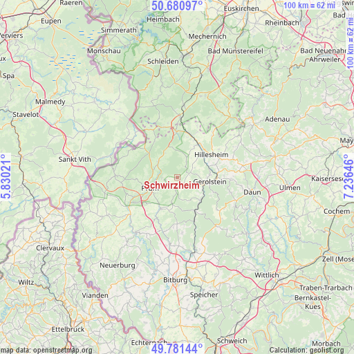
| Upper-left | 50.68097°, | 5.83021° |
| Center: | 50.23333°, | 6.53333° |
| Lower-right: | 49.78144°, | 7.23646° |
| Map W x H: | 100×100 km | = 62.1×62.1mi |
| max Lat: | 55.01917° ⇑58.4% North |
| Schwirzheim: | 50.23333° |
| min Lat: | ⇓41.6% South 47.40724° |
| min Long | Schwirzheim | max Long |
| 5.92978° | 6.53333° | 14.98853° |
| W 2.5%⇐ | ⇒97.5% E |
Elevation
Elevation of Schwirzheim is 504 m = 1654 ft, and this is 254.9 m = 836 ft above average elevation for this country.
| Max E: |
1256 m = 4121 ft | 11% |
| Schwirzheim | 504 m 1654 ft | |
| Avg. | 249.1 m = 817 ft | |
Min E: |
-5 m = -16 ft | 89% |
See also: Germany elevation on elevation.city.
Geographical zone
Schwirzheim is located in North temperate zone (between Tropic of Cancer and the Arctic Circle). Distance of this North polar circle is 1815.8 km =1128.3 mi to North.| Distance of | km | miles | from Schwirzheim |
|---|---|---|---|
| North Pole | 4421.6 | 2747.5 | to North |
| Arctic Circle | 1815.8 | 1128.3 | to North |
| Tropic Cancer | 2979.5 | 1851.4 | to South |
| Equator | 5585.4 | 3470.6 | to South |


Nearby cities:
15 places around Schwirzheim: (largest is in red/bold)
• Büdesheim
2.2 km =1.4 mi,  147°
147°
• Duppach
4.4 km =2.7 mi,  32°
32°
• Fleringen
3 km =1.9 mi,  231°
231°
• Giesdorf
8.1 km =5 mi, 226°
• Gondenbrett
8.3 km =5.2 mi,  270°
270°
• Kalenborn-Scheuern
5.1 km =3.2 mi,  68°
68°
• Kleinlangenfeld
5.1 km =3.2 mi,  316°
316°
• Kopp
6.6 km =4.1 mi, 147°
• Neuendorf
7.3 km =4.5 mi, 319°
• Olzheim
7.1 km =4.4 mi,  307°
307°
• Reuth
8.2 km =5.1 mi,  334°
334°
• Rommersheim
7 km =4.3 mi,  237°
237°
• Steffeln
6 km =3.7 mi,  23°
23°
• Wallersheim
3.4 km =2.1 mi,  186°
186°
• Weinsheim
4.7 km =2.9 mi, 270°
Sources, notices
• [Note1] Compared only with cities in Germany existing in our database
• [Src1] Map data: © OpenStreetMap contributors (CC-BY-SA)
• [Src2] Other city data from geonames.org with taken over terms of usage.
• [Src3] Geographical zone / Annual Mean Temperature by Robert A. Rohde @ Wikipedia
