Obernfeld geodata
Obernfeld (Lower Saxony) is a seat of a fourth-order administrative division; located in Germany in Europe/Berlin (GMT+2) time zone. With population of 1,022 people, there are 7103 cities with bigger population in this country. Compared to other cities in Germany, 66.9% of cities are located further ↓South; 53.9% of cities are located further ←West and 59.3% of cities have higher elevation than Obernfeld. Note1


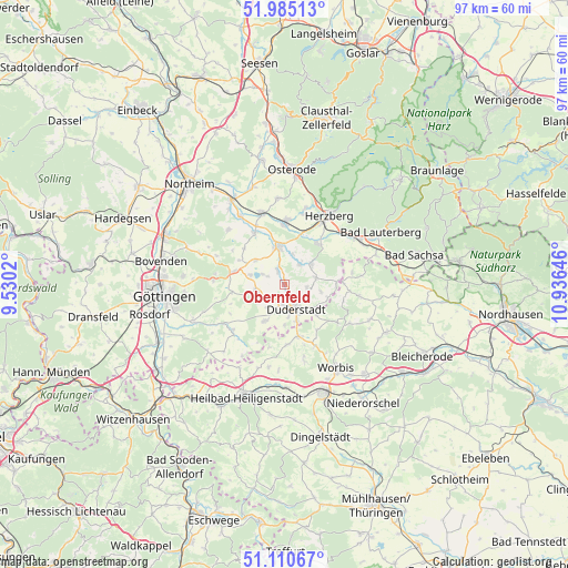
Obernfeld GPS coordinates[2]
51° 33' 0" North, 10° 13' 59.988" East
| Map corner | latitude | longitude |
|---|---|---|
| Upper-left | 51.98513°, | 9.5302° |
| Center: | 51.55°, | 10.23333° |
| Lower-right: | 51.11067°, | 10.93646° |
| Map W x H: | 97.2×97.2 km | = 60.4×60.4mi |
| max Lat: | 55.01917° ⇑33.1% North |
| Obernfeld: | 51.55° |
| min Lat: | ⇓66.9% South 47.40724° |
| min Long | Obernfeld | max Long |
| 5.92978° | 10.23333° | 14.98853° |
| W 53.9%⇐ | ⇒46.1% E |
Elevation
Elevation of Obernfeld is 158 m = 518 ft, and this is 91.1 m = 299 ft below average elevation for this country.
| Max E: |
1256 m = 4121 ft | 59.3% |
| Avg. | 249.1 m = 817 ft | |
| Obernfeld | 158 m = 518 ft | |
Min E: |
-5 m = -16 ft | 40.7% |
See also: Germany elevation on elevation.city.
Geographical zone
Obernfeld is located in North temperate zone (between Tropic of Cancer and the Arctic Circle). Distance of this North polar circle is 1669.4 km =1037.3 mi to North.| Distance of | km | miles | from Obernfeld |
|---|---|---|---|
| North Pole | 4275.2 | 2656.5 | to North |
| Arctic Circle | 1669.4 | 1037.3 | to North |
| Tropic Cancer | 3125.9 | 1942.3 | to South |
| Equator | 5731.8 | 3561.6 | to South |


Nearby cities:
15 places around Obernfeld: (largest is in red/bold)
• Bodensee
9.3 km =5.8 mi,  311°
311°
• Duderstadt
4.5 km =2.8 mi,  156°
156°
• Ebergötzen
9.1 km =5.7 mi,  284°
284°
• Ecklingerode
8 km =5 mi,  133°
133°
• Gieboldehausen
6.7 km =4.2 mi,  349°
349°
• Krebeck
8.9 km =5.5 mi,  294°
294°
• Landolfshausen
9.4 km =5.8 mi,  258°
258°
• Rhumspringe
5.9 km =3.7 mi,  51°
51°
• Rollshausen
2.2 km =1.4 mi,  328°
328°
• Rüdershausen
4.4 km =2.7 mi,  31°
31°
• Seeburg
6.1 km =3.8 mi, 287°
• Seulingen
5 km =3.1 mi, 258°
• Wehnde
9.4 km =5.8 mi,  142°
142°
• Wollbrandshausen
5.9 km =3.7 mi, 308°
• Wollershausen
5.7 km =3.5 mi,  11°
11°
Sources, notices
• [Note1] Compared only with cities in Germany existing in our database
• [Src1] Map data: © OpenStreetMap contributors (CC-BY-SA)
• [Src2] Other city data from geonames.org with taken over terms of usage.
• [Src3] Geographical zone / Annual Mean Temperature by Robert A. Rohde @ Wikipedia
