Högel geodata
Högel (Schleswig-Holstein) is a seat of a fourth-order administrative division; located in Germany in Europe/Berlin (GMT+2) time zone. With population of 462 people, there are 9500 cities with bigger population in this country. Compared to other cities in Germany, 98.9% of cities are located further ↓South; 64.5% of cities are located further →East and 95.6% of cities have higher elevation than Högel. Note1


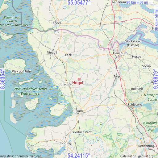
Högel GPS coordinates[2]
54° 39' 0" North, 9° 4' 0.012" East
| Map corner | latitude | longitude |
|---|---|---|
| Upper-left | 55.05477°, | 8.36354° |
| Center: | 54.65°, | 9.06667° |
| Lower-right: | 54.24115°, | 9.76979° |
| Map W x H: | 90.5×90.5 km | = 56.2×56.2mi |
| max Lat: | 55.01917° ⇑1.1% North |
| Högel: | 54.65° |
| min Lat: | ⇓98.9% South 47.40724° |
| min Long | Högel | max Long |
| 5.92978° | 9.06667° | 14.98853° |
| W 35.5%⇐ | ⇒64.5% E |
Elevation
Elevation of Högel is 7 m = 23 ft, and this is 242.1 m = 794 ft below average elevation for this country.
| Max E: |
1256 m = 4121 ft | 95.6% |
| Avg. | 249.1 m = 817 ft | |
| Högel | 7 m = 23 ft | |
Min E: |
-5 m = -16 ft | 4.4% |
See also: Germany elevation on elevation.city.
Geographical zone
Högel is located in North temperate zone (between Tropic of Cancer and the Arctic Circle). Distance of this North polar circle is 1324.7 km =823.1 mi to North.| Distance of | km | miles | from Högel |
|---|---|---|---|
| North Pole | 3930.6 | 2442.4 | to North |
| Arctic Circle | 1324.7 | 823.1 | to North |
| Tropic Cancer | 3470.6 | 2156.5 | to South |
| Equator | 6076.5 | 3775.8 | to South |


Nearby cities:
15 places around Högel: (largest is in red/bold)
• Almdorf
8.1 km =5 mi,  203°
203°
• Bohmstedt
7.5 km =4.7 mi,  188°
188°
• Bredstedt
7.4 km =4.6 mi,  242°
242°
• Breklum
7.7 km =4.8 mi,  223°
223°
• Drelsdorf
5.2 km =3.2 mi, 196°
• Goldebek
6.5 km =4 mi,  55°
55°
• Goldelund
4.3 km =2.7 mi,  30°
30°
• Joldelund
4.3 km =2.7 mi,  90°
90°
• Kolkerheide
5.7 km =3.5 mi,  130°
130°
• Löwenstedt
7.5 km =4.7 mi,  114°
114°
• Lütjenholm
4.9 km =3 mi,  319°
319°
• Norstedt
8.6 km =5.3 mi,  149°
149°
• Struckum
8.6 km =5.3 mi,  210°
210°
• Sönnebüll
4.7 km =2.9 mi,  246°
246°
• Vollstedt
4.3 km =2.7 mi, 210°
Sources, notices
• [Note1] Compared only with cities in Germany existing in our database
• [Src1] Map data: © OpenStreetMap contributors (CC-BY-SA)
• [Src2] Other city data from geonames.org with taken over terms of usage.
• [Src3] Geographical zone / Annual Mean Temperature by Robert A. Rohde @ Wikipedia
