Burg geodata
Burg (Brandenburg) is a populated place; located in Germany in Europe/Berlin (GMT+2) time zone. With population of 4,549 people, there are 3014 cities with bigger population in this country. Compared to other cities in Germany, 70.3% of cities are located further ↓South; 98.5% of cities are located further ←West and 76.4% of cities have higher elevation than Burg. Note1
Administrative division(s):
- Level 1: Brandenburg
- Level 3: Landkreis Spree-Neiße
- Level 4: Burg (Spreewald)


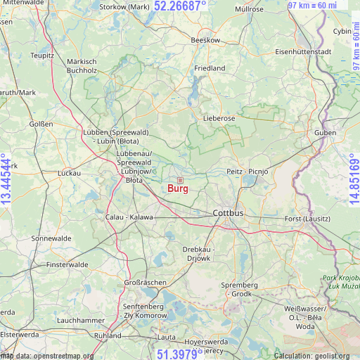
Burg GPS coordinates[2]
51° 50' 4.128" North, 14° 8' 54.816" East
| Map corner | latitude | longitude |
|---|---|---|
| Upper-left | 52.26687°, | 13.44544° |
| Center: | 51.83448°, | 14.14856° |
| Lower-right: | 51.3979°, | 14.85169° |
| Map W x H: | 96.6×96.6 km | = 60×60mi |
| max Lat: | 55.01917° ⇑29.7% North |
| Burg: | 51.83448° |
| min Lat: | ⇓70.3% South 47.40724° |
| min Long | Burg | max Long |
| 5.92978° | 14.14856° | 14.98853° |
| W 98.5%⇐ | ⇒1.5% E |
Elevation
Elevation of Burg is 58 m = 190 ft, and this is 191.1 m = 627 ft below average elevation for this country.
| Max E: |
1256 m = 4121 ft | 76.4% |
| Avg. | 249.1 m = 817 ft | |
| Burg | 58 m = 190 ft | |
Min E: |
-5 m = -16 ft | 23.6% |
See also: Germany elevation on elevation.city.
Geographical zone
Burg is located in North temperate zone (between Tropic of Cancer and the Arctic Circle). Distance of this North polar circle is 1637.7 km =1017.6 mi to North.| Distance of | km | miles | from Burg |
|---|---|---|---|
| North Pole | 4243.6 | 2636.8 | to North |
| Arctic Circle | 1637.7 | 1017.6 | to North |
| Tropic Cancer | 3157.5 | 1962 | to South |
| Equator | 5763.5 | 3581.3 | to South |


Nearby cities:
15 places around Burg: (largest is in red/bold)
• Briesen
6.9 km =4.3 mi,  107°
107°
• Calau
16.8 km =10.4 mi,  233°
233°
• Cottbus
15.1 km =9.4 mi,  124°
124°
• Drachhausen
13.1 km =8.1 mi,  61°
61°
• Drebkau
20.7 km =12.9 mi,  165°
165°
• Drehnow
15.4 km =9.6 mi,  76°
76°
• Guhrow
6.1 km =3.8 mi, 114°
• Kolkwitz
11.7 km =7.3 mi,  143°
143°
• Lieberose
19.7 km =12.2 mi,  31°
31°
• Lübbenau
13.9 km =8.6 mi,  282°
282°
• Neu Zauche
11.2 km =7 mi,  338°
338°
• Peitz
18.2 km =11.3 mi, 81°
• Straupitz
9 km =5.6 mi,  348°
348°
• Vetschau
7.2 km =4.5 mi,  221°
221°
• Werben
3.1 km =1.9 mi,  129°
129°
Sources, notices
• [Note1] Compared only with cities in Germany existing in our database
• [Src1] Map data: © OpenStreetMap contributors (CC-BY-SA)
• [Src2] Other city data from geonames.org with taken over terms of usage.
• [Src3] Geographical zone / Annual Mean Temperature by Robert A. Rohde @ Wikipedia
