Güéjar-Sierra geodata
Güéjar-Sierra (Andalusia) is a populated place; located in Spain in Europe/Madrid (GMT+2) time zone. With population of 3,009 people, there are 1717 cities with bigger population in this country. Compared to other cities in Spain, 94.4% of cities are located further ↑North; 51.3% of cities are located further →East and 93.4% of cities have lower elevation than Güéjar-Sierra. Note1


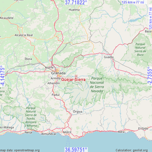
Güéjar-Sierra GPS coordinates[2]
37° 9' 35.784" North, 3° 26' 19.068" West
| Map corner | latitude | longitude |
|---|---|---|
| Upper-left | 37.71822°, | -4.14175° |
| Center: | 37.15994°, | -3.43863° |
| Lower-right: | 36.59751°, | -2.7355° |
| Map W x H: | 124.6×124.6 km | = 77.4×77.4mi |
| max Lat: | 43.74134° ⇑94.4% North |
| Güéjar-Sierra: | 37.15994° |
| min Lat: | ⇓5.6% South 27.64134° |
| min Long | Güéjar-Sierra | max Long |
| -18.00367° | -3.43863° | 4.2899° |
| W 48.7%⇐ | ⇒51.3% E |
Elevation
Elevation of Güéjar-Sierra is 1101 m = 3612 ft, and this is 503 m = 1650 ft above average elevation for this country.
| Max E: |
1682 m = 5518 ft | 6.6% |
| Güéjar-Sierra | 1101 m 3612 ft | |
| Avg. | 598 m = 1962 ft | |
Min E: |
0 m = 0 ft | 93.4% |
See also: Spain elevation on elevation.city.
Geographical zone
Güéjar-Sierra is located in North temperate zone (between Tropic of Cancer and the Arctic Circle). Distance of this Northern Tropic circle is 1525.9 km =948.2 mi to South.| Distance of | km | miles | from Güéjar-Sierra |
|---|---|---|---|
| North Pole | 5875.3 | 3650.7 | to North |
| Arctic Circle | 3269.4 | 2031.5 | to North |
| Tropic Cancer | 1525.9 | 948.2 | to South |
| Equator | 4131.8 | 2567.4 | to South |


Nearby cities:
15 places around Güéjar-Sierra: (largest is in red/bold)
• Alfacar
14.3 km =8.9 mi,  306°
306°
• Beas de Granada
7.5 km =4.7 mi,  329°
329°
• Cenes de la Vega
8.6 km =5.3 mi,  270°
270°
• Cájar
12.2 km =7.6 mi,  256°
256°
• Dúdar
4.9 km =3 mi, 305°
• Granada
15.2 km =9.4 mi,  281°
281°
• Huétor Santillán
9.7 km =6 mi, 314°
• Huétor Vega
11.7 km =7.3 mi, 262°
• Jun
15.3 km =9.5 mi,  296°
296°
• Monachil
9.2 km =5.7 mi,  251°
251°
• Ogíjares
15.7 km =9.8 mi, 253°
• Pinos Genil
5.6 km =3.5 mi, 273°
• Quéntar
4.4 km =2.7 mi, 325°
• Víznar
12.9 km =8 mi, 307°
• Zubia
13.7 km =8.5 mi, 250°
Sources, notices
• [Note1] Compared only with cities in Spain existing in our database
• [Src1] Map data: © OpenStreetMap contributors (CC-BY-SA)
• [Src2] Other city data from geonames.org with taken over terms of usage.
• [Src3] Geographical zone / Annual Mean Temperature by Robert A. Rohde @ Wikipedia
