Nomwin Village geodata
Nomwin Village (Chuuk) is a populated place; located in Micronesia in Pacific/Chuuk (GMT+10) time zone. With population of 711 people, there are 11 cities with bigger population in this country. Compared to other cities in Micronesia, 76.7% of cities are located further ↓South; 60% of cities are located further →East and 51.7% of cities have higher elevation than Nomwin Village. Note1


Nomwin Village GPS coordinates[2]
8° 25' 57.684" North, 151° 44' 46.608" East
| Map corner | latitude | longitude |
|---|---|---|
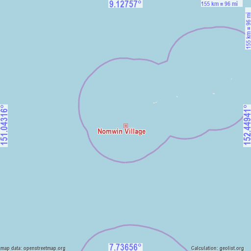
| Upper-left | 9.12757°, | 151.04316° |
| Center: | 8.43269°, | 151.74628° |
| Lower-right: | 7.73656°, | 152.44941° |
| Map W x H: | 154.7×154.7 km | = 96.1×96.1mi |
| max Lat: | 9.766° ⇑23.3% North |
| Nomwin Village: | 8.43269° |
| min Lat: | ⇓76.7% South 1.07861° |
| min Long | Nomwin Village | max Long |
| 137.484° | 151.74628° | 163.02609° |
| W 40%⇐ | ⇒60% E |
Elevation
Elevation of Nomwin Village is 11 m = 36 ft, and this is 3.8 m = 12 ft below average elevation for this country.
| Max E: |
92 m = 302 ft | 51.7% |
| Avg. | 14.8 m = 49 ft | |
| Nomwin Village | 11 m = 36 ft | |
Min E: |
1 m = 3 ft | 48.3% |
See also: Micronesia elevation on elevation.city.
Geographical zone
Nomwin Village is located in North Torrid zone (between Equator and Tropic of Cancer). Distance of Equator is 937.6 km =582.6 mi to South.| Distance of | km | miles | from Nomwin Village |
|---|---|---|---|
| North Pole | 9069.4 | 5635.5 | to North |
| Arctic Circle | 6463.5 | 4016.2 | to North |
| Tropic Cancer | 1668.3 | 1036.6 | to North |
| Equator | 937.6 | 582.6 | to South |


Nearby cities:
15 places around Nomwin Village: (largest is in red/bold)
• Fananu
22.7 km =14.1 mi,  52°
52°
• Losap
203.1 km =126.2 mi,  147°
147°
• Makur
188.2 km =116.9 mi,  289°
289°
• Murilo
71.3 km =44.3 mi,  66°
66°
• Nema
184.6 km =114.7 mi, 150°
• Nomwin
0.4 km =0.2 mi, 147°
• Onou
165 km =102.5 mi,  284°
284°
• Onoun
227 km =141.1 mi,  273°
273°
• Onoun
227.4 km =141.3 mi, 274°
• Piis
206.6 km =128.4 mi, 149°
• Pisaras
146.7 km =91.2 mi, 275°
• Ruo
58.3 km =36.2 mi, 70°
• Tonoas Municipal Building
118.5 km =73.6 mi,  172°
172°
• Unanu
158.5 km =98.5 mi, 282°
• Weno
110.2 km =68.5 mi, 174°
Sources, notices
• [Note1] Compared only with cities in Micronesia existing in our database
• [Src1] Map data: © OpenStreetMap contributors (CC-BY-SA)
• [Src2] Other city data from geonames.org with taken over terms of usage.
• [Src3] Geographical zone / Annual Mean Temperature by Robert A. Rohde @ Wikipedia
