Nema geodata
Nema (Chuuk) is a seat of a second-order administrative division; located in Micronesia in Pacific/Chuuk (GMT+10) time zone. With population of 995 people, there are 5 cities with bigger population in this country. Compared to other cities in Micronesia, 51.7% of cities are located further ↓South; 51.7% of cities are located further ←West and 60% of cities have lower elevation than Nema. Note1


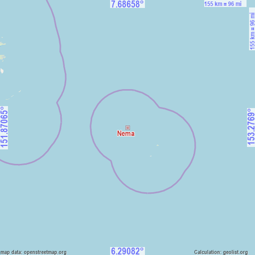
Nema GPS coordinates[2]
6° 59' 21.192" North, 152° 34' 25.572" East
| Map corner | latitude | longitude |
|---|---|---|
| Upper-left | 7.68658°, | 151.87065° |
| Center: | 6.98922°, | 152.57377° |
| Lower-right: | 6.29082°, | 153.2769° |
| Map W x H: | 155.2×155.2 km | = 96.4×96.4mi |
| max Lat: | 9.766° ⇑48.3% North |
| Nema: | 6.98922° |
| min Lat: | ⇓51.7% South 1.07861° |
| min Long | Nema | max Long |
| 137.484° | 152.57377° | 163.02609° |
| W 51.7%⇐ | ⇒48.3% E |
Elevation
Elevation of Nema is 12 m = 39 ft, and this is 2.8 m = 9 ft below average elevation for this country.
| Max E: |
92 m = 302 ft | 40% |
| Avg. | 14.8 m = 49 ft | |
| Nema | 12 m = 39 ft | |
Min E: |
1 m = 3 ft | 60% |
See also: Micronesia elevation on elevation.city.
Geographical zone
Nema is located in North Torrid zone (between Equator and Tropic of Cancer). Distance of Equator is 777.1 km =482.9 mi to South.| Distance of | km | miles | from Nema |
|---|---|---|---|
| North Pole | 9229.9 | 5735.2 | to North |
| Arctic Circle | 6624 | 4116 | to North |
| Tropic Cancer | 1828.8 | 1136.4 | to North |
| Equator | 777.1 | 482.9 | to South |


Nearby cities:
15 places around Nema: (largest is in red/bold)
• Ettal
190 km =118.1 mi,  144°
144°
• Fananu
189.2 km =117.6 mi,  337°
337°
• Kuttu
196.8 km =122.3 mi,  150°
150°
• Kuttu Village
196.5 km =122.1 mi, 150°
• Losap
21.2 km =13.2 mi,  119°
119°
• Moch
197.8 km =122.9 mi, 147°
• Moch Village
197.8 km =122.9 mi, 147°
• Murilo
191.1 km =118.7 mi,  352°
352°
• Namoluk
134.8 km =83.8 mi, 152°
• Nomwin
184.2 km =114.5 mi,  330°
330°
• Nomwin Village
184.6 km =114.7 mi, 330°
• Piis
22.3 km =13.9 mi, 140°
• Ruo
183.7 km =114.1 mi, 348°
• Tonoas Municipal Building
87.4 km =54.3 mi,  299°
299°
• Weno
95.5 km =59.3 mi, 302°
Sources, notices
• [Note1] Compared only with cities in Micronesia existing in our database
• [Src1] Map data: © OpenStreetMap contributors (CC-BY-SA)
• [Src2] Other city data from geonames.org with taken over terms of usage.
• [Src3] Geographical zone / Annual Mean Temperature by Robert A. Rohde @ Wikipedia
