Fais geodata
Fais (Yap) is a seat of a second-order administrative division; located in Micronesia in Pacific/Chuuk (GMT+10) time zone. With population of 215 people, there are 18 cities with bigger population in this country. Compared to other cities in Micronesia, 100% of cities are located further ↓South; 93.3% of cities are located further →East and 85% of cities have lower elevation than Fais. Note1


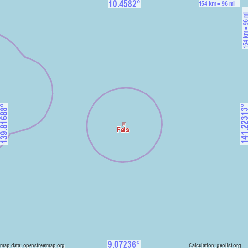
Fais GPS coordinates[2]
9° 45' 57.6" North, 140° 31' 12" East
| Map corner | latitude | longitude |
|---|---|---|
| Upper-left | 10.4582°, | 139.81688° |
| Center: | 9.766°, | 140.52° |
| Lower-right: | 9.07236°, | 141.22313° |
| Map W x H: | 154.1×154.1 km | = 95.8×95.8mi |
| max Lat: | 9.766° ⇑0% North |
| Fais: | 9.766° |
| min Lat: | ⇓100% South 1.07861° |
| min Long | Fais | max Long |
| 137.484° | 140.52° | 163.02609° |
| W 6.7%⇐ | ⇒93.3% E |
Elevation
Elevation of Fais is 20 m = 66 ft, and this is 5.2 m = 17 ft above average elevation for this country.
| Max E: |
92 m = 302 ft | 15% |
| Fais | 20 m 66 ft | |
| Avg. | 14.8 m = 49 ft | |
Min E: |
1 m = 3 ft | 85% |
See also: Micronesia elevation on elevation.city.
Geographical zone
Fais is located in North Torrid zone (between Equator and Tropic of Cancer). Distance of Equator is 1085.9 km =674.7 mi to South.| Distance of | km | miles | from Fais |
|---|---|---|---|
| North Pole | 8921.2 | 5543.4 | to North |
| Arctic Circle | 6315.3 | 3924.1 | to North |
| Tropic Cancer | 1520 | 944.5 | to North |
| Equator | 1085.9 | 674.7 | to South |


Nearby cities:
5 places around Fais: (largest is in red/bold)
• Colonia
264.4 km =164.3 mi,  263°
263°
• Eauripik
440.4 km =273.7 mi,  141°
141°
• Ngulu
364 km =226.2 mi,  246°
246°
• Rumung
259.8 km =161.4 mi,  266°
266°
• Sorol
180.9 km =112.4 mi,  184°
184°
Sources, notices
• [Note1] Compared only with cities in Micronesia existing in our database
• [Src1] Map data: © OpenStreetMap contributors (CC-BY-SA)
• [Src2] Other city data from geonames.org with taken over terms of usage.
• [Src3] Geographical zone / Annual Mean Temperature by Robert A. Rohde @ Wikipedia
