Ngulu geodata
Ngulu (Yap) is a seat of a second-order administrative division; located in Micronesia in Pacific/Chuuk (GMT+10) time zone. In our database, there are 19 cities with bigger population. Compared to other cities in Micronesia, 78.3% of cities are located further ↓South; 100% of cities are located further →East and 100% of cities have higher elevation than Ngulu. Note1


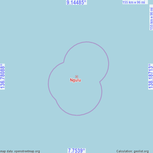
Ngulu GPS coordinates[2]
8° 27' 0" North, 137° 29' 2.4" East
| Map corner | latitude | longitude |
|---|---|---|
| Upper-left | 9.14485°, | 136.78088° |
| Center: | 8.45°, | 137.484° |
| Lower-right: | 7.7539°, | 138.18713° |
| Map W x H: | 154.7×154.7 km | = 96.1×96.1mi |
| max Lat: | 9.766° ⇑21.7% North |
| Ngulu: | 8.45° |
| min Lat: | ⇓78.3% South 1.07861° |
| min Long | Ngulu | max Long |
| 137.484° | 137.484° | 163.02609° |
| W 0%⇐ | ⇒100% E |
Elevation
Elevation of Ngulu is 1 m = 3 ft, and this is 13.8 m = 45 ft below average elevation for this country.
| Max E: |
92 m = 302 ft | 100% |
| Avg. | 14.8 m = 49 ft | |
| Ngulu | 1 m = 3 ft | |
Min E: |
1 m = 3 ft | 0% |
See also: Micronesia elevation on elevation.city.
Geographical zone
Ngulu is located in North Torrid zone (between Equator and Tropic of Cancer). Distance of Equator is 939.6 km =583.8 mi to South.| Distance of | km | miles | from Ngulu |
|---|---|---|---|
| North Pole | 9067.5 | 5634.3 | to North |
| Arctic Circle | 6461.6 | 4015.1 | to North |
| Tropic Cancer | 1666.4 | 1035.5 | to North |
| Equator | 939.6 | 583.8 | to South |


Nearby cities:
4 places around Ngulu: (largest is in red/bold)
• Colonia
137.7 km =85.6 mi,  30°
30°
• Fais
364 km =226.2 mi,  66°
66°
• Rumung
149.6 km =93 mi, 29°
• Sorol
322 km =200.1 mi,  96°
96°
Sources, notices
• [Note1] Compared only with cities in Micronesia existing in our database
• [Src1] Map data: © OpenStreetMap contributors (CC-BY-SA)
• [Src2] Other city data from geonames.org with taken over terms of usage.
• [Src3] Geographical zone / Annual Mean Temperature by Robert A. Rohde @ Wikipedia
