Utwe geodata
Utwe (Kosrae) is a seat of a second-order administrative division; located in Micronesia in Pacific/Kosrae (GMT+11) time zone. In our database, there are 19 cities with bigger population. Compared to other cities in Micronesia, 96.7% of cities are located further ↑North; 93.3% of cities are located further ←West and 75% of cities have higher elevation than Utwe. Note1


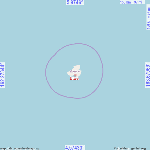
Utwe GPS coordinates[2]
5° 16' 29.496" North, 162° 58' 35.616" East
| Map corner | latitude | longitude |
|---|---|---|
| Upper-left | 5.9746°, | 162.27344° |
| Center: | 5.27486°, | 162.97656° |
| Lower-right: | 4.57433°, | 163.67969° |
| Map W x H: | 155.7×155.7 km | = 96.7×96.7mi |
| max Lat: | 9.766° ⇑96.7% North |
| Utwe: | 5.27486° |
| min Lat: | ⇓3.3% South 1.07861° |
| min Long | Utwe | max Long |
| 137.484° | 162.97656° | 163.02609° |
| W 93.3%⇐ | ⇒6.7% E |
Elevation
Elevation of Utwe is 7 m = 23 ft, and this is 7.8 m = 26 ft below average elevation for this country.
| Max E: |
92 m = 302 ft | 75% |
| Avg. | 14.8 m = 49 ft | |
| Utwe | 7 m = 23 ft | |
Min E: |
1 m = 3 ft | 25% |
See also: Micronesia elevation on elevation.city.
Geographical zone
Utwe is located in North Torrid zone (between Equator and Tropic of Cancer). Distance of Equator is 586.5 km =364.4 mi to South.| Distance of | km | miles | from Utwe |
|---|---|---|---|
| North Pole | 9420.6 | 5853.7 | to North |
| Arctic Circle | 6814.7 | 4234.5 | to North |
| Tropic Cancer | 2019.4 | 1254.8 | to North |
| Equator | 586.5 | 364.4 | to South |


Nearby cities:
6 places around Utwe: (largest is in red/bold)
• Lelu
8.3 km =5.2 mi,  37°
37°
• Malem
5.6 km =3.5 mi,  77°
77°
• Mokil
388.8 km =241.6 mi,  293°
293°
• Pingelap
272 km =169 mi, 292°
• Tafunsak
10.3 km =6.4 mi,  5°
5°
• Tofol
6.5 km =4 mi,  31°
31°
Sources, notices
• [Note1] Compared only with cities in Micronesia existing in our database
• [Src1] Map data: © OpenStreetMap contributors (CC-BY-SA)
• [Src2] Other city data from geonames.org with taken over terms of usage.
• [Src3] Geographical zone / Annual Mean Temperature by Robert A. Rohde @ Wikipedia
