Pingelap geodata
Pingelap (Pohnpei) is a seat of a second-order administrative division; located in Micronesia in Pacific/Pohnpei (GMT+11) time zone. In our database, there are 19 cities with bigger population. Compared to other cities in Micronesia, 65% of cities are located further ↑North; 91.7% of cities are located further ←West and 60% of cities have lower elevation than Pingelap. Note1


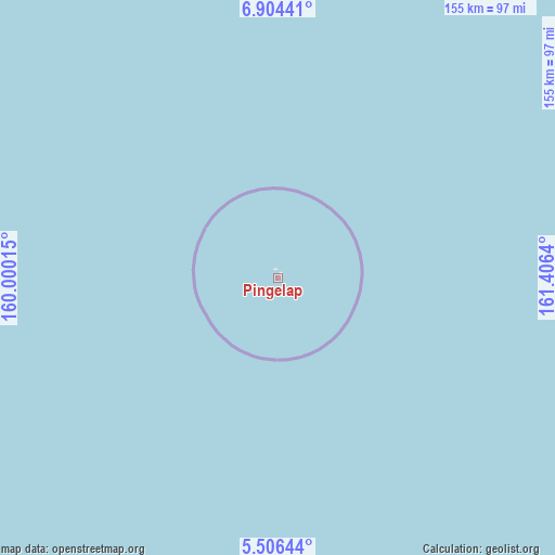
Pingelap GPS coordinates[2]
6° 12' 21.204" North, 160° 42' 11.772" East
| Map corner | latitude | longitude |
|---|---|---|
| Upper-left | 6.90441°, | 160.00015° |
| Center: | 6.20589°, | 160.70327° |
| Lower-right: | 5.50644°, | 161.4064° |
| Map W x H: | 155.4×155.4 km | = 96.6×96.6mi |
| max Lat: | 9.766° ⇑65% North |
| Pingelap: | 6.20589° |
| min Lat: | ⇓35% South 1.07861° |
| min Long | Pingelap | max Long |
| 137.484° | 160.70327° | 163.02609° |
| W 91.7%⇐ | ⇒8.3% E |
Elevation
Elevation of Pingelap is 12 m = 39 ft, and this is 2.8 m = 9 ft below average elevation for this country.
| Max E: |
92 m = 302 ft | 40% |
| Avg. | 14.8 m = 49 ft | |
| Pingelap | 12 m = 39 ft | |
Min E: |
1 m = 3 ft | 60% |
See also: Micronesia elevation on elevation.city.
Geographical zone
Pingelap is located in North Torrid zone (between Equator and Tropic of Cancer). Distance of Equator is 690 km =428.7 mi to South.| Distance of | km | miles | from Pingelap |
|---|---|---|---|
| North Pole | 9317 | 5789.3 | to North |
| Arctic Circle | 6711.1 | 4170.1 | to North |
| Tropic Cancer | 1915.9 | 1190.5 | to North |
| Equator | 690 | 428.7 | to South |


Nearby cities:
11 places around Pingelap: (largest is in red/bold)
• Kolonia
288.4 km =179.2 mi,  286°
286°
• Kolonia Town
288.4 km =179.2 mi, 286°
• Lelu
274.3 km =170.4 mi,  110°
110°
• Madolenihm Municipality Government
274.7 km =170.7 mi,  284°
284°
• Malem
276.6 km =171.9 mi, 111°
• Mokil
117.2 km =72.8 mi,  297°
297°
• Ngatik
394.6 km =245.2 mi,  263°
263°
• Palikir - National Government Center
292 km =181.4 mi, 285°
• Tafunsak
269.1 km =167.2 mi, 110°
• Tofol
273.1 km =169.7 mi, 111°
• Utwe
272 km =169 mi, 112°
Sources, notices
• [Note1] Compared only with cities in Micronesia existing in our database
• [Src1] Map data: © OpenStreetMap contributors (CC-BY-SA)
• [Src2] Other city data from geonames.org with taken over terms of usage.
• [Src3] Geographical zone / Annual Mean Temperature by Robert A. Rohde @ Wikipedia
