Flagy geodata
Flagy (Île-de-France) is a populated place; located in France in Europe/Paris (GMT+2) time zone. With population of 588 people, there are 13513 cities with bigger population in this country. Compared to other cities in France, 64.8% of cities are located further ↓South; 56.7% of cities are located further ←West and 71% of cities have higher elevation than Flagy. Note1
Administrative division(s):
- Level 1: Île-de-France
- Level 2: Seine-et-Marne
- Level 3: Arrondissement de Fontainebleau
- Level 4: Flagy


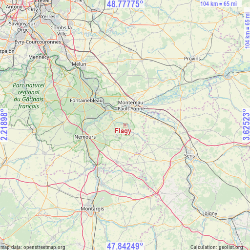
Flagy GPS coordinates[2]
48° 18' 44.136" North, 2° 55' 19.56" East
| Map corner | latitude | longitude |
|---|---|---|
| Upper-left | 48.77775°, | 2.21898° |
| Center: | 48.31226°, | 2.9221° |
| Lower-right: | 47.84249°, | 3.62523° |
| Map W x H: | 104×104 km | = 64.6×64.6mi |
| max Lat: | 51.07786° ⇑35.2% North |
| Flagy: | 48.31226° |
| min Lat: | ⇓64.8% South 41.3874° |
| min Long | Flagy | max Long |
| -5.08615° | 2.9221° | 9.52242° |
| W 56.7%⇐ | ⇒43.3% E |
Elevation
Elevation of Flagy is 76 m = 249 ft, and this is 117.7 m = 386 ft below average elevation for this country.
| Max E: |
2333 m = 7654 ft | 71% |
| Avg. | 193.7 m = 635 ft | |
| Flagy | 76 m = 249 ft | |
Min E: |
-1 m = -3 ft | 29% |
See also: France elevation on elevation.city.
Geographical zone
Flagy is located in North temperate zone (between Tropic of Cancer and the Arctic Circle). Distance of this North polar circle is 2029.4 km =1261 mi to North.| Distance of | km | miles | from Flagy |
|---|---|---|---|
| North Pole | 4635.2 | 2880.2 | to North |
| Arctic Circle | 2029.4 | 1261 | to North |
| Tropic Cancer | 2765.9 | 1718.7 | to South |
| Equator | 5371.8 | 3337.9 | to South |


Nearby cities:
15 places around Flagy: (largest is in red/bold)
• Cannes-Écluse
7.4 km =4.6 mi,  40°
40°
• Dormelles
1.7 km =1.1 mi,  279°
279°
• Esmans
5.5 km =3.4 mi,  46°
46°
• La Brosse-Montceaux
8.1 km =5 mi,  63°
63°
• La Grande-Paroisse
8.4 km =5.2 mi,  349°
349°
• Montereau-Fault-Yonne
8.2 km =5.1 mi,  14°
14°
• Noisy-Rudignon
2.7 km =1.7 mi, 13°
• Thoury-Férottes
2.5 km =1.6 mi,  144°
144°
• Varennes-sur-Seine
6.8 km =4.2 mi,  2°
2°
• Ville-Saint-Jacques
3.8 km =2.4 mi,  333°
333°
• Villecerf
5.8 km =3.6 mi,  287°
287°
• Villemaréchal
6.5 km =4 mi,  219°
219°
• Villemer
7.3 km =4.5 mi,  260°
260°
• Voulx
4.7 km =2.9 mi, 135°
• Écuelles
8.8 km =5.5 mi,  303°
303°
Sources, notices
• [Note1] Compared only with cities in France existing in our database
• [Src1] Map data: © OpenStreetMap contributors (CC-BY-SA)
• [Src2] Other city data from geonames.org with taken over terms of usage.
• [Src3] Geographical zone / Annual Mean Temperature by Robert A. Rohde @ Wikipedia
