Porthleven geodata
Porthleven (England) is a populated place; located in United Kingdom in Europe/London (GMT+1) time zone. With population of 3,059 people, there are 2103 cities with bigger population in this country. Compared to other cities in United Kingdom, 99.8% of cities are located further ↑North; 97.4% of cities are located further →East and 89.9% of cities have higher elevation than Porthleven. Note1


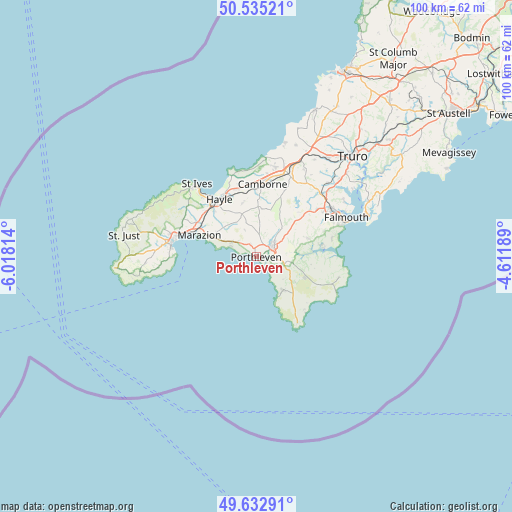
Porthleven GPS coordinates[2]
50° 5' 10.248" North, 5° 18' 54.036" West
| Map corner | latitude | longitude |
|---|---|---|
| Upper-left | 50.53521°, | -6.01814° |
| Center: | 50.08618°, | -5.31501° |
| Lower-right: | 49.63291°, | -4.61189° |
| Map W x H: | 100.3×100.3 km | = 62.3×62.3mi |
| max Lat: | 60.39635° ⇑99.8% North |
| Porthleven: | 50.08618° |
| min Lat: | ⇓0.2% South 34.60088° |
| min Long | Porthleven | max Long |
| -7.64133° | -5.31501° | 32.95536° |
| W 2.6%⇐ | ⇒97.4% E |
Elevation
Elevation of Porthleven is 12 m = 39 ft, and this is 60.9 m = 200 ft below average elevation for this country.
| Max E: |
515 m = 1690 ft | 89.9% |
| Avg. | 72.9 m = 239 ft | |
| Porthleven | 12 m = 39 ft | |
Min E: |
-30 m = -98 ft | 10.1% |
See also: United Kingdom elevation on elevation.city.
Geographical zone
Porthleven is located in North temperate zone (between Tropic of Cancer and the Arctic Circle). Distance of this North polar circle is 1832.1 km =1138.4 mi to North.| Distance of | km | miles | from Porthleven |
|---|---|---|---|
| North Pole | 4438 | 2757.6 | to North |
| Arctic Circle | 1832.1 | 1138.4 | to North |
| Tropic Cancer | 2963.1 | 1841.2 | to South |
| Equator | 5569.1 | 3460.5 | to South |


Nearby cities:
15 places around Porthleven: (largest is in red/bold)
• Camborne
14.2 km =8.8 mi,  5°
5°
• Constantine
10.6 km =6.6 mi,  69°
69°
• Four Lanes
13.9 km =8.6 mi,  22°
22°
• Germoe
5.6 km =3.5 mi,  305°
305°
• Gweek
7.7 km =4.8 mi,  81°
81°
• Hayle
13.3 km =8.3 mi,  325°
325°
• Helston
3.7 km =2.3 mi,  59°
59°
• Landewednack
15.4 km =9.6 mi,  146°
146°
• Lizard
15.2 km =9.4 mi, 149°
• Marazion
12.2 km =7.6 mi,  290°
290°
• Mullion
8.4 km =5.2 mi,  141°
141°
• Ruan Minor
14 km =8.7 mi, 137°
• Stithians
15 km =9.3 mi,  40°
40°
• Uny Lelant
14 km =8.7 mi,  320°
320°
• Wendron
7 km =4.3 mi, 41°
Sources, notices
• [Note1] Compared only with cities in United Kingdom existing in our database
• [Src1] Map data: © OpenStreetMap contributors (CC-BY-SA)
• [Src2] Other city data from geonames.org with taken over terms of usage.
• [Src3] Geographical zone / Annual Mean Temperature by Robert A. Rohde @ Wikipedia
