Littlehampton geodata
Littlehampton (England) is a populated place; located in United Kingdom in Europe/London (GMT+1) time zone. With population of 58,714 people, there are 192 cities with bigger population in this country. Compared to other cities in United Kingdom, 95% of cities are located further ↑North; 75.7% of cities are located further ←West and 97.5% of cities have higher elevation than Littlehampton. Note1
Administrative division(s):
- Level 1: England
- Level 2: West Sussex
- Level 3: Arun District
- Level 4: Littlehampton


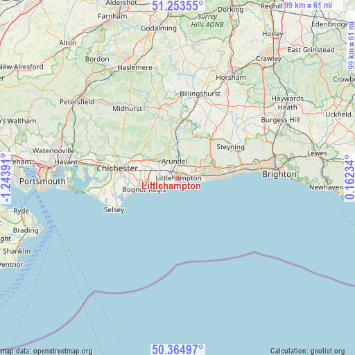
Littlehampton GPS coordinates[2]
50° 48' 40.932" North, 0° 32' 26.808" West
| Map corner | latitude | longitude |
|---|---|---|
| Upper-left | 51.25355°, | -1.24391° |
| Center: | 50.81137°, | -0.54078° |
| Lower-right: | 50.36497°, | 0.16234° |
| Map W x H: | 98.8×98.8 km | = 61.4×61.4mi |
| max Lat: | 60.39635° ⇑95% North |
| Littlehampton: | 50.81137° |
| min Lat: | ⇓5% South 34.60088° |
| min Long | Littlehampton | max Long |
| -7.64133° | -0.54078° | 32.95536° |
| W 75.7%⇐ | ⇒24.3% E |
Elevation
Elevation of Littlehampton is 6 m = 20 ft, and this is 66.9 m = 219 ft below average elevation for this country.
| Max E: |
515 m = 1690 ft | 97.5% |
| Avg. | 72.9 m = 239 ft | |
| Littlehampton | 6 m = 20 ft | |
Min E: |
-30 m = -98 ft | 2.5% |
See also: Littlehampton elevation on elevation.city.
Geographical zone
Littlehampton is located in North temperate zone (between Tropic of Cancer and the Arctic Circle). Distance of this North polar circle is 1751.5 km =1088.3 mi to North.| Distance of | km | miles | from Littlehampton |
|---|---|---|---|
| North Pole | 4357.4 | 2707.6 | to North |
| Arctic Circle | 1751.5 | 1088.3 | to North |
| Tropic Cancer | 3043.8 | 1891.3 | to South |
| Equator | 5649.7 | 3510.6 | to South |


Nearby cities:
15 places around Littlehampton: (largest is in red/bold)
• Amberley
10.6 km =6.6 mi,  2°
2°
• Arundel
4.9 km =3 mi,  349°
349°
• Barnham
7.2 km =4.5 mi,  287°
287°
• Bognor Regis
10.3 km =6.4 mi,  251°
251°
• Boxgrove
13.2 km =8.2 mi, 293°
• Broadwater
11.7 km =7.3 mi,  80°
80°
• Findon
11.3 km =7 mi,  56°
56°
• Fontwell
9 km =5.6 mi,  302°
302°
• Goring-by-Sea
8.4 km =5.2 mi,  89°
89°
• Rustington
2.4 km =1.5 mi, 92°
• Tangmere
13.1 km =8.1 mi, 289°
• Walberton
6.7 km =4.2 mi, 303°
• Westergate
9.7 km =6 mi, 289°
• Worthing
11.6 km =7.2 mi, 86°
• Yapton
5.2 km =3.2 mi,  281°
281°
Sources, notices
• [Note1] Compared only with cities in United Kingdom existing in our database
• [Src1] Map data: © OpenStreetMap contributors (CC-BY-SA)
• [Src2] Other city data from geonames.org with taken over terms of usage.
• [Src3] Geographical zone / Annual Mean Temperature by Robert A. Rohde @ Wikipedia
