Forres geodata
Forres (Scotland) is a populated place; located in United Kingdom in Europe/London (GMT+1) time zone. With population of 9,900 people, there are 1066 cities with bigger population in this country. Compared to other cities in United Kingdom, 99.1% of cities are located further ↓South; 84% of cities are located further →East and 91.2% of cities have higher elevation than Forres. Note1


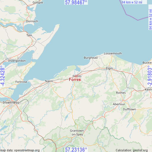
Forres GPS coordinates[2]
57° 36' 35.892" North, 3° 37' 16.14" West
| Map corner | latitude | longitude |
|---|---|---|
| Upper-left | 57.98467°, | -4.32428° |
| Center: | 57.60997°, | -3.62115° |
| Lower-right: | 57.23136°, | -2.91803° |
| Map W x H: | 83.8×83.8 km | = 52.1×52.1mi |
| max Lat: | 60.39635° ⇑0.9% North |
| Forres: | 57.60997° |
| min Lat: | ⇓99.1% South 34.60088° |
| min Long | Forres | max Long |
| -7.64133° | -3.62115° | 32.95536° |
| W 16%⇐ | ⇒84% E |
Elevation
Elevation of Forres is 11 m = 36 ft, and this is 61.9 m = 203 ft below average elevation for this country.
| Max E: |
515 m = 1690 ft | 91.2% |
| Avg. | 72.9 m = 239 ft | |
| Forres | 11 m = 36 ft | |
Min E: |
-30 m = -98 ft | 8.8% |
See also: United Kingdom elevation on elevation.city.
Geographical zone
Forres is located in North temperate zone (between Tropic of Cancer and the Arctic Circle). Distance of this North polar circle is 995.5 km =618.6 mi to North.| Distance of | km | miles | from Forres |
|---|---|---|---|
| North Pole | 3601.4 | 2237.8 | to North |
| Arctic Circle | 995.5 | 618.6 | to North |
| Tropic Cancer | 3799.7 | 2361 | to South |
| Equator | 6405.6 | 3980.3 | to South |


Nearby cities:
15 places around Forres: (largest is in red/bold)
• Ardersier
25.3 km =15.7 mi,  259°
259°
• Auldearn
11.6 km =7.2 mi,  250°
250°
• Balintore
23.7 km =14.7 mi,  313°
313°
• Burghead
12.8 km =8 mi,  37°
37°
• Charlestown of Aberlour
28.3 km =17.6 mi,  123°
123°
• Cromarty
25.8 km =16 mi,  287°
287°
• Croy
26.7 km =16.6 mi, 247°
• Elgin
18.5 km =11.5 mi,  76°
76°
• Findhorn
5.3 km =3.3 mi,  8°
8°
• Hopeman
15.7 km =9.8 mi,  46°
46°
• Kinloss
4.1 km =2.5 mi, 47°
• Lhanbryde
24.1 km =15 mi, 83°
• Lossiemouth
23.6 km =14.7 mi,  58°
58°
• Nairn
15.7 km =9.8 mi, 258°
• Rothes
26.4 km =16.4 mi,  110°
110°
Sources, notices
• [Note1] Compared only with cities in United Kingdom existing in our database
• [Src1] Map data: © OpenStreetMap contributors (CC-BY-SA)
• [Src2] Other city data from geonames.org with taken over terms of usage.
• [Src3] Geographical zone / Annual Mean Temperature by Robert A. Rohde @ Wikipedia
