Ashton-under-Lyne geodata
Ashton-under-Lyne (England) is a seat of a second-order administrative division; located in United Kingdom in Europe/London (GMT+1) time zone. With population of 43,675 people, there are 273 cities with bigger population in this country. Compared to other cities in United Kingdom, 69.7% of cities are located further ↓South; 56.8% of cities are located further →East and 75.7% of cities have lower elevation than Ashton-under-Lyne. Note1


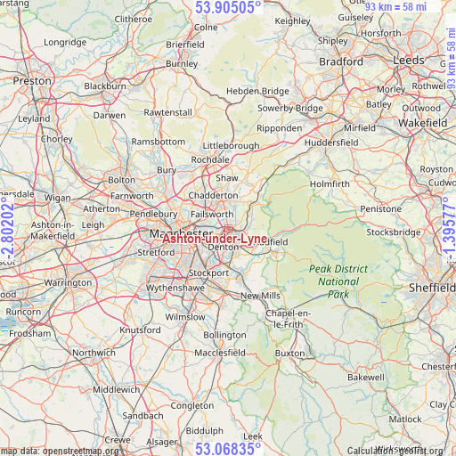
Ashton-under-Lyne GPS coordinates[2]
53° 29' 19.536" North, 2° 5' 56.04" West
| Map corner | latitude | longitude |
|---|---|---|
| Upper-left | 53.90505°, | -2.80202° |
| Center: | 53.48876°, | -2.0989° |
| Lower-right: | 53.06835°, | -1.39577° |
| Map W x H: | 93×93 km | = 57.8×57.8mi |
| max Lat: | 60.39635° ⇑30.3% North |
| Ashton-under-Lyne: | 53.48876° |
| min Lat: | ⇓69.7% South 34.60088° |
| min Long | Ashton-under-Ly | max Long |
| -7.64133° | -2.0989° | 32.95536° |
| W 43.2%⇐ | ⇒56.8% E |
Elevation
Elevation of Ashton-under-Lyne is 108 m = 354 ft, and this is 35.1 m = 115 ft above average elevation for this country.
| Max E: |
515 m = 1690 ft | 24.3% |
| Ashton-under-Lyne | 108 m 354 ft | |
| Avg. | 72.9 m = 239 ft | |
Min E: |
-30 m = -98 ft | 75.7% |
See also: Ashton-under-Lyne elevation on elevation.city.
Geographical zone
Ashton-under-Lyne is located in North temperate zone (between Tropic of Cancer and the Arctic Circle). Distance of this North polar circle is 1453.8 km =903.3 mi to North.| Distance of | km | miles | from Ashton-under-Lyne |
|---|---|---|---|
| North Pole | 4059.7 | 2522.6 | to North |
| Arctic Circle | 1453.8 | 903.3 | to North |
| Tropic Cancer | 3341.5 | 2076.3 | to South |
| Equator | 5947.4 | 3695.5 | to South |


Nearby cities:
15 places around Ashton-under-Lyne: (largest is in red/bold)
• Blackley
8.3 km =5.2 mi,  292°
292°
• Bredbury
8.1 km =5 mi,  188°
188°
• Denton
3.8 km =2.4 mi,  199°
199°
• Droylsden
3.2 km =2 mi,  252°
252°
• Dukinfield
1.7 km =1.1 mi,  154°
154°
• Failsworth
4.8 km =3 mi, 292°
• Haughton Green
5.3 km =3.3 mi,  179°
179°
• Heaton Chapel
8.3 km =5.2 mi,  217°
217°
• Hollingworth
7.7 km =4.8 mi,  111°
111°
• Hyde
4.4 km =2.7 mi,  162°
162°
• Longdendale
7 km =4.3 mi, 110°
• Longsight
7.6 km =4.7 mi,  243°
243°
• Mossley
5.1 km =3.2 mi,  56°
56°
• Oldham
5.9 km =3.7 mi,  347°
347°
• Stalybridge
2.7 km =1.7 mi,  101°
101°
Sources, notices
• [Note1] Compared only with cities in United Kingdom existing in our database
• [Src1] Map data: © OpenStreetMap contributors (CC-BY-SA)
• [Src2] Other city data from geonames.org with taken over terms of usage.
• [Src3] Geographical zone / Annual Mean Temperature by Robert A. Rohde @ Wikipedia
