Holloway geodata
Holloway (England) is a section of populated place; located in United Kingdom in Europe/London (GMT+1) time zone. With population of 41,329 people, there are 293 cities with bigger population in this country. Compared to other cities in United Kingdom, 76% of cities are located further ↑North; 84.3% of cities are located further ←West and 61% of cities have higher elevation than Holloway. Note1


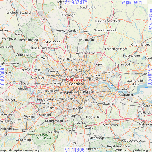
Holloway GPS coordinates[2]
51° 33' 8.532" North, 0° 7' 29.892" West
| Map corner | latitude | longitude |
|---|---|---|
| Upper-left | 51.98747°, | -0.82809° |
| Center: | 51.55237°, | -0.12497° |
| Lower-right: | 51.11306°, | 0.57815° |
| Map W x H: | 97.2×97.2 km | = 60.4×60.4mi |
| max Lat: | 60.39635° ⇑76% North |
| Holloway: | 51.55237° |
| min Lat: | ⇓24% South 34.60088° |
| min Long | Holloway | max Long |
| -7.64133° | -0.12497° | 32.95536° |
| W 84.3%⇐ | ⇒15.7% E |
Elevation
Elevation of Holloway is 45 m = 148 ft, and this is 27.9 m = 92 ft below average elevation for this country.
| Max E: |
515 m = 1690 ft | 61% |
| Avg. | 72.9 m = 239 ft | |
| Holloway | 45 m = 148 ft | |
Min E: |
-30 m = -98 ft | 39% |
See also: Holloway elevation on elevation.city.
Geographical zone
Holloway is located in North temperate zone (between Tropic of Cancer and the Arctic Circle). Distance of this North polar circle is 1669.1 km =1037.1 mi to North.| Distance of | km | miles | from Holloway |
|---|---|---|---|
| North Pole | 4275 | 2656.4 | to North |
| Arctic Circle | 1669.1 | 1037.1 | to North |
| Tropic Cancer | 3126.2 | 1942.5 | to South |
| Equator | 5732.1 | 3561.8 | to South |


Nearby cities:
15 places around Holloway: (largest is in red/bold)
• Archway
1.8 km =1.1 mi,  339°
339°
• Barbican
4.2 km =2.6 mi,  149°
149°
• Barnsbury
1.4 km =0.9 mi,  156°
156°
• Belsize Park
3.3 km =2.1 mi,  260°
260°
• Bethnal Green
5.2 km =3.2 mi,  122°
122°
• Camden Town
1.8 km =1.1 mi,  224°
224°
• City of London
5 km =3.1 mi, 152°
• Clerkenwell
3.3 km =2.1 mi, 161°
• Crouch End
3 km =1.9 mi,  1°
1°
• Hackney
5.2 km =3.2 mi,  92°
92°
• Harringay
3.8 km =2.4 mi,  27°
27°
• Islington
2.4 km =1.5 mi,  139°
139°
• London
4.9 km =3 mi,  180°
180°
• West End of London
4.7 km =2.9 mi,  206°
206°
• Wood Green
5.3 km =3.3 mi,  6°
6°
Sources, notices
• [Note1] Compared only with cities in United Kingdom existing in our database
• [Src1] Map data: © OpenStreetMap contributors (CC-BY-SA)
• [Src2] Other city data from geonames.org with taken over terms of usage.
• [Src3] Geographical zone / Annual Mean Temperature by Robert A. Rohde @ Wikipedia
