Aasiaat geodata
Aasiaat (Qeqertalik) is a seat of a first-order administrative division; located in Greenland in America/Godthab (GMT-2) time zone. With population of 3,005 people, there are 4 cities with bigger population in this country. Compared to other cities in Greenland, 61.1% of cities are located further ↓South; 66.7% of cities are located further →East and 100% of cities have higher elevation than Aasiaat. Note1


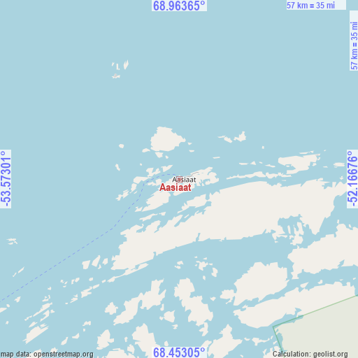
Aasiaat GPS coordinates[2]
68° 42' 35.316" North, 52° 52' 11.568" West
| Map corner | latitude | longitude |
|---|---|---|
| Upper-left | 68.96365°, | -53.57301° |
| Center: | 68.70981°, | -52.86988° |
| Lower-right: | 68.45305°, | -52.16676° |
| Map W x H: | 56.8×56.8 km | = 35.3×35.3mi |
| max Lat: | 77.46666° ⇑38.9% North |
| Aasiaat: | 68.70981° |
| min Lat: | ⇓61.1% South 60.14169° |
| min Long | Aasiaat | max Long |
| -69.23155° | -52.86988° | -21.96221° |
| W 33.3%⇐ | ⇒66.7% E |
Elevation
Elevation of Aasiaat is 1 m = 3 ft, and this is 31.1 m = 102 ft below average elevation for this country.
| Max E: |
242 m = 794 ft | 100% |
| Avg. | 32.1 m = 105 ft | |
| Aasiaat | 1 m = 3 ft | |
Min E: |
1 m = 3 ft | 0% |
See also: Greenland elevation on elevation.city.
Geographical zone
Aasiaat is located in North Frigid zone (between North Pole and Arctic Circle). Distance of this North polar circle is 238.6 km =148.3 mi to South.| Distance of | km | miles | from Aasiaat |
|---|---|---|---|
| North Pole | 2367.2 | 1470.9 | to North |
| Arctic Circle | 238.6 | 148.3 | to South |
| Tropic Cancer | 5033.9 | 3127.9 | to South |
| Equator | 7639.8 | 4747.2 | to South |


Nearby cities:
8 places around Aasiaat: (largest is in red/bold)
• Ilulissat
90.6 km =56.3 mi,  51°
51°
• Kangaatsiaq
51 km =31.7 mi,  208°
208°
• Kangerlussuaq
210 km =130.5 mi,  154°
154°
• Maniitsoq
366.3 km =227.6 mi,  180°
180°
• Qasigiannguit
68.6 km =42.6 mi,  79°
79°
• Qeqertarsuaq
65.4 km =40.6 mi,  336°
336°
• Sisimiut
199.7 km =124.1 mi,  189°
189°
• Uummannaq
220.3 km =136.9 mi,  7°
7°
Sources, notices
• [Note1] Compared only with cities in Greenland existing in our database
• [Src1] Map data: © OpenStreetMap contributors (CC-BY-SA)
• [Src2] Other city data from geonames.org with taken over terms of usage.
• [Src3] Geographical zone / Annual Mean Temperature by Robert A. Rohde @ Wikipedia
