Vlacháta geodata
Vlacháta (Ionian Islands) is a populated place; located in Greece in Europe/Athens (GMT+3) time zone. With population of 520 people, there are 1766 cities with bigger population in this country. Compared to other cities in Greece, 69.7% of cities are located further ↑North; 95.9% of cities are located further →East and 72.3% of cities have lower elevation than Vlacháta. Note1
Administrative division(s):
- Level 1: Ionian Islands
- Level 2: Nomós Kefallinías
- Level 3: Dimos Kefalonia


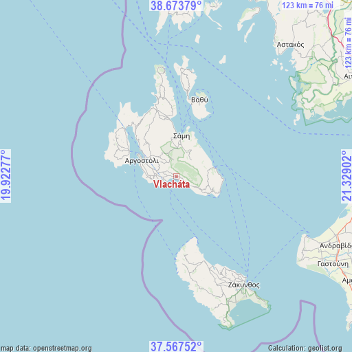
Vlacháta GPS coordinates[2]
38° 7' 21.9" North, 20° 37' 33.204" East
| Map corner | latitude | longitude |
|---|---|---|
| Upper-left | 38.67379°, | 19.92277° |
| Center: | 38.12275°, | 20.62589° |
| Lower-right: | 37.56752°, | 21.32902° |
| Map W x H: | 123×123 km | = 76.4×76.4mi |
| max Lat: | 41.72048° ⇑69.7% North |
| Vlacháta: | 38.12275° |
| min Lat: | ⇓30.3% South 34.8346° |
| min Long | Vlacháta | max Long |
| 19.40494° | 20.62589° | 29.59361° |
| W 4.1%⇐ | ⇒95.9% E |
Elevation
Elevation of Vlacháta is 183 m = 600 ft, and this is 14.1 m = 46 ft above average elevation for this country.
| Max E: |
1439 m = 4721 ft | 27.7% |
| Vlacháta | 183 m 600 ft | |
| Avg. | 168.9 m = 554 ft | |
Min E: |
0 m = 0 ft | 72.3% |
See also: Greece elevation on elevation.city.
Geographical zone
Vlacháta is located in North temperate zone (between Tropic of Cancer and the Arctic Circle). Distance of this Northern Tropic circle is 1632.9 km =1014.6 mi to South.| Distance of | km | miles | from Vlacháta |
|---|---|---|---|
| North Pole | 5768.2 | 3584.2 | to North |
| Arctic Circle | 3162.3 | 1965 | to North |
| Tropic Cancer | 1632.9 | 1014.6 | to South |
| Equator | 4238.9 | 2633.9 | to South |


Nearby cities:
15 places around Vlacháta: (largest is in red/bold)
• Alónia
36.2 km =22.5 mi,  155°
155°
• Argostólion
13.6 km =8.5 mi,  298°
298°
• Dilináta
14.8 km =9.2 mi,  319°
319°
• Itháki
28 km =17.4 mi,  16°
16°
• Kalipádhon
40.3 km =25 mi,  152°
152°
• Katastárion
34.5 km =21.4 mi, 160°
• Kipséli
37.9 km =23.5 mi, 152°
• Lixoúri
18.7 km =11.6 mi, 297°
• Plános
40 km =24.9 mi, 148°
• Póros
13.2 km =8.2 mi,  74°
74°
• Skoulikádo
38.4 km =23.9 mi, 158°
• Sámi
14.4 km =8.9 mi,  7°
7°
• Tragákion
39 km =24.2 mi, 152°
• Valsamáta
7 km =4.3 mi,  328°
328°
• Áyios Dhimítrios
39 km =24.2 mi, 157°
Sources, notices
• [Note1] Compared only with cities in Greece existing in our database
• [Src1] Map data: © OpenStreetMap contributors (CC-BY-SA)
• [Src2] Other city data from geonames.org with taken over terms of usage.
• [Src3] Geographical zone / Annual Mean Temperature by Robert A. Rohde @ Wikipedia
