Glínos geodata
Glínos (Thessaly) is a populated place; located in Greece in Europe/Athens (GMT+3) time zone. With population of 522 people, there are 1763 cities with bigger population in this country. Compared to other cities in Greece, 56.9% of cities are located further ↓South; 74.8% of cities are located further →East and 54.8% of cities have lower elevation than Glínos. Note1


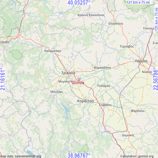
Glínos GPS coordinates[2]
39° 30' 44.064" North, 21° 51' 53.028" East
| Map corner | latitude | longitude |
|---|---|---|
| Upper-left | 40.05257°, | 21.16161° |
| Center: | 39.51224°, | 21.86473° |
| Lower-right: | 38.96767°, | 22.56786° |
| Map W x H: | 120.6×120.6 km | = 74.9×74.9mi |
| max Lat: | 41.72048° ⇑43.1% North |
| Glínos: | 39.51224° |
| min Lat: | ⇓56.9% South 34.8346° |
| min Long | Glínos | max Long |
| 19.40494° | 21.86473° | 29.59361° |
| W 25.2%⇐ | ⇒74.8% E |
Elevation
Elevation of Glínos is 98 m = 322 ft, and this is 70.9 m = 233 ft below average elevation for this country.
| Max E: |
1439 m = 4721 ft | 45.2% |
| Avg. | 168.9 m = 554 ft | |
| Glínos | 98 m = 322 ft | |
Min E: |
0 m = 0 ft | 54.8% |
See also: Greece elevation on elevation.city.
Geographical zone
Glínos is located in North temperate zone (between Tropic of Cancer and the Arctic Circle). Distance of this Northern Tropic circle is 1787.4 km =1110.6 mi to South.| Distance of | km | miles | from Glínos |
|---|---|---|---|
| North Pole | 5613.7 | 3488.2 | to North |
| Arctic Circle | 3007.8 | 1869 | to North |
| Tropic Cancer | 1787.4 | 1110.6 | to South |
| Equator | 4393.3 | 2729.9 | to South |


Nearby cities:
15 places around Glínos: (largest is in red/bold)
• Agnanteró
3.3 km =2.1 mi,  206°
206°
• Agía Triáda
6.1 km =3.8 mi,  151°
151°
• Faneroméni
4.6 km =2.9 mi,  33°
33°
• Kalogrianá
5.3 km =3.3 mi,  172°
172°
• Kraniá
7.8 km =4.8 mi,  199°
199°
• Megalochóri
5.6 km =3.5 mi,  339°
339°
• Megála Kalývia
6.8 km =4.2 mi,  255°
255°
• Palaiochóri
5.8 km =3.6 mi,  215°
215°
• Patouliá
2.5 km =1.6 mi,  359°
359°
• Pedinó
7.6 km =4.7 mi,  84°
84°
• Petróporo
7.7 km =4.8 mi,  44°
44°
• Proástio
4.3 km =2.7 mi,  130°
130°
• Rizarió
6.2 km =3.9 mi,  298°
298°
• Servotá
3.8 km =2.4 mi,  102°
102°
• Taxiárches
7.4 km =4.6 mi,  18°
18°
Sources, notices
• [Note1] Compared only with cities in Greece existing in our database
• [Src1] Map data: © OpenStreetMap contributors (CC-BY-SA)
• [Src2] Other city data from geonames.org with taken over terms of usage.
• [Src3] Geographical zone / Annual Mean Temperature by Robert A. Rohde @ Wikipedia
