Zasadbreg geodata
Zasadbreg (Međimurska) is a populated place; located in Croatia in Europe/Zagreb (GMT+2) time zone. With population of 841 people, there are 565 cities with bigger population in this country. Compared to other cities in Croatia, 99.2% of cities are located further ↓South; 52.3% of cities are located further →East and 86.1% of cities have lower elevation than Zasadbreg. Note1


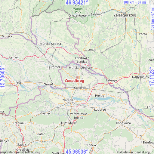
Zasadbreg GPS coordinates[2]
46° 27' 6.984" North, 16° 24' 33.012" East
| Map corner | latitude | longitude |
|---|---|---|
| Upper-left | 46.93421°, | 15.70605° |
| Center: | 46.45194°, | 16.40917° |
| Lower-right: | 45.96536°, | 17.1123° |
| Map W x H: | 107.7×107.7 km | = 66.9×66.9mi |
| max Lat: | 46.52694° ⇑0.8% North |
| Zasadbreg: | 46.45194° |
| min Lat: | ⇓99.2% South 42.54972° |
| min Long | Zasadbreg | max Long |
| 13.52389° | 16.40917° | 19.37694° |
| W 47.7%⇐ | ⇒52.3% E |
Elevation
Elevation of Zasadbreg is 246 m = 807 ft, and this is 92.7 m = 304 ft above average elevation for this country.
| Max E: |
827 m = 2713 ft | 13.9% |
| Zasadbreg | 246 m 807 ft | |
| Avg. | 153.3 m = 503 ft | |
Min E: |
-1 m = -3 ft | 86.1% |
See also: Croatia elevation on elevation.city.
Geographical zone
Zasadbreg is located in North temperate zone (between Tropic of Cancer and the Arctic Circle). Distance of this North polar circle is 2236.2 km =1389.5 mi to North.| Distance of | km | miles | from Zasadbreg |
|---|---|---|---|
| North Pole | 4842.1 | 3008.7 | to North |
| Arctic Circle | 2236.2 | 1389.5 | to North |
| Tropic Cancer | 2559.1 | 1590.2 | to South |
| Equator | 5165 | 3209.4 | to South |


Nearby cities:
15 places around Zasadbreg: (largest is in red/bold)
• Brezje
4 km =2.5 mi,  202°
202°
• Gornji Kraljevec
5 km =3.1 mi,  70°
70°
• Gornji Mihaljevec
6.4 km =4 mi,  245°
245°
• Krištanovec
3.4 km =2.1 mi,  104°
104°
• Lopatinec
2.9 km =1.8 mi,  223°
223°
• Mačkovec
3.6 km =2.2 mi,  148°
148°
• Mihovljan
5.7 km =3.5 mi, 148°
• Mursko Središće
6.8 km =4.2 mi,  20°
20°
• Novo Selo Rok
4.8 km =3 mi,  122°
122°
• Peklenica
7 km =4.3 mi,  46°
46°
• Selnica
4.8 km =3 mi,  341°
341°
• Slakovec
5.7 km =3.5 mi,  205°
205°
• Vratišinec
4.7 km =2.9 mi, 52°
• Šenkovec
4.9 km =3 mi,  168°
168°
• Žiškovec
1.9 km =1.2 mi, 98°
Sources, notices
• [Note1] Compared only with cities in Croatia existing in our database
• [Src1] Map data: © OpenStreetMap contributors (CC-BY-SA)
• [Src2] Other city data from geonames.org with taken over terms of usage.
• [Src3] Geographical zone / Annual Mean Temperature by Robert A. Rohde @ Wikipedia
