Šaptinovci geodata
Šaptinovci (Osječko-Baranjska) is a populated place; located in Croatia in Europe/Zagreb (GMT+2) time zone. With population of 543 people, there are 824 cities with bigger population in this country. Compared to other cities in Croatia, 57.5% of cities are located further ↓South; 82.4% of cities are located further ←West and 68.2% of cities have higher elevation than Šaptinovci. Note1


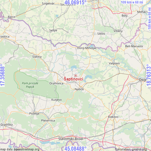
Šaptinovci GPS coordinates[2]
45° 34' 45.012" North, 18° 3' 36" East
| Map corner | latitude | longitude |
|---|---|---|
| Upper-left | 46.06915°, | 17.35688° |
| Center: | 45.57917°, | 18.06° |
| Lower-right: | 45.08488°, | 18.76313° |
| Map W x H: | 109.4×109.4 km | = 68×68mi |
| max Lat: | 46.52694° ⇑42.5% North |
| Šaptinovci: | 45.57917° |
| min Lat: | ⇓57.5% South 42.54972° |
| min Long | Šaptinovci | max Long |
| 13.52389° | 18.06° | 19.37694° |
| W 82.4%⇐ | ⇒17.6% E |
Elevation
Elevation of Šaptinovci is 98 m = 322 ft, and this is 55.3 m = 181 ft below average elevation for this country.
| Max E: |
827 m = 2713 ft | 68.2% |
| Avg. | 153.3 m = 503 ft | |
| Šaptinovci | 98 m = 322 ft | |
Min E: |
-1 m = -3 ft | 31.8% |
See also: Croatia elevation on elevation.city.
Geographical zone
Šaptinovci is located in North temperate zone (between Tropic of Cancer and the Arctic Circle). Distance of this North polar circle is 2333.2 km =1449.8 mi to North.| Distance of | km | miles | from Šaptinovci |
|---|---|---|---|
| North Pole | 4939.1 | 3069 | to North |
| Arctic Circle | 2333.2 | 1449.8 | to North |
| Tropic Cancer | 2462 | 1529.8 | to South |
| Equator | 5067.9 | 3149 | to South |


Nearby cities:
15 places around Šaptinovci: (largest is in red/bold)
• Beljevina
3.9 km =2.4 mi,  245°
245°
• Beničanci
11.2 km =7 mi,  53°
53°
• Breznica Našička
12.3 km =7.6 mi,  112°
112°
• Donja Motičina
9.8 km =6.1 mi,  196°
196°
• Feričanci
8.6 km =5.3 mi,  229°
229°
• Jelisavac
9.3 km =5.8 mi,  126°
126°
• Markovac Našički
10.8 km =6.7 mi,  151°
151°
• Martin
9.7 km =6 mi,  176°
176°
• Našice
10.3 km =6.4 mi,  167°
167°
• Orahovica
14.3 km =8.9 mi, 252°
• Velimirovac
7.3 km =4.5 mi, 148°
• Vukojevci
13.5 km =8.4 mi, 146°
• Zdenci
8.6 km =5.3 mi,  277°
277°
• Ðurđenovac
4.1 km =2.5 mi, 195°
• Čačinci
15 km =9.3 mi, 280°
Sources, notices
• [Note1] Compared only with cities in Croatia existing in our database
• [Src1] Map data: © OpenStreetMap contributors (CC-BY-SA)
• [Src2] Other city data from geonames.org with taken over terms of usage.
• [Src3] Geographical zone / Annual Mean Temperature by Robert A. Rohde @ Wikipedia
