Turčin geodata
Turčin (Varaždinska) is a populated place; located in Croatia in Europe/Zagreb (GMT+2) time zone. With population of 931 people, there are 504 cities with bigger population in this country. Compared to other cities in Croatia, 91.2% of cities are located further ↓South; 54.9% of cities are located further →East and 73.2% of cities have lower elevation than Turčin. Note1


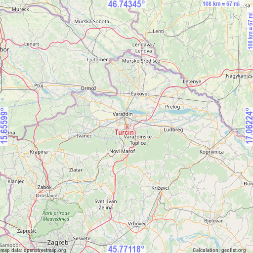
Turčin GPS coordinates[2]
46° 15' 34.092" North, 16° 21' 32.796" East
| Map corner | latitude | longitude |
|---|---|---|
| Upper-left | 46.74345°, | 15.65599° |
| Center: | 46.25947°, | 16.35911° |
| Lower-right: | 45.77118°, | 17.06224° |
| Map W x H: | 108.1×108.1 km | = 67.2×67.2mi |
| max Lat: | 46.52694° ⇑8.8% North |
| Turčin: | 46.25947° |
| min Lat: | ⇓91.2% South 42.54972° |
| min Long | Turčin | max Long |
| 13.52389° | 16.35911° | 19.37694° |
| W 45.1%⇐ | ⇒54.9% E |
Elevation
Elevation of Turčin is 174 m = 571 ft, and this is 20.7 m = 68 ft above average elevation for this country.
| Max E: |
827 m = 2713 ft | 26.8% |
| Turčin | 174 m 571 ft | |
| Avg. | 153.3 m = 503 ft | |
Min E: |
-1 m = -3 ft | 73.2% |
See also: Croatia elevation on elevation.city.
Geographical zone
Turčin is located in North temperate zone (between Tropic of Cancer and the Arctic Circle). Distance of this North polar circle is 2257.6 km =1402.8 mi to North.| Distance of | km | miles | from Turčin |
|---|---|---|---|
| North Pole | 4863.5 | 3022 | to North |
| Arctic Circle | 2257.6 | 1402.8 | to North |
| Tropic Cancer | 2537.7 | 1576.9 | to South |
| Equator | 5143.6 | 3196.1 | to South |


Nearby cities:
15 places around Turčin: (largest is in red/bold)
• Beletinec
6 km =3.7 mi,  221°
221°
• Beretinec
4.7 km =2.9 mi,  256°
256°
• Donji Kneginec
1.9 km =1.2 mi,  90°
90°
• Donji Kućan
3.5 km =2.2 mi,  48°
48°
• Gojanec
5.3 km =3.3 mi,  306°
306°
• Gornji Kneginec
1.6 km =1 mi,  128°
128°
• Jalkovec
3.8 km =2.4 mi, 308°
• Kelemen
5.9 km =3.7 mi, 93°
• Kućan Marof
3.5 km =2.2 mi,  16°
16°
• Nedeljanec
6.6 km =4.1 mi,  298°
298°
• Sveti Ilija
3 km =1.9 mi,  241°
241°
• Trnovec Bartolovečki
5 km =3.1 mi,  37°
37°
• Varaždin
5.3 km =3.3 mi,  341°
341°
• Zbelava
4.7 km =2.9 mi, 54°
• Črnec Biškupečki
1.1 km =0.7 mi,  318°
318°
Sources, notices
• [Note1] Compared only with cities in Croatia existing in our database
• [Src1] Map data: © OpenStreetMap contributors (CC-BY-SA)
• [Src2] Other city data from geonames.org with taken over terms of usage.
• [Src3] Geographical zone / Annual Mean Temperature by Robert A. Rohde @ Wikipedia
