Segorotambak geodata
Segorotambak (East Java) is a seat of a fourth-order administrative division; located in Indonesia in Asia/Jakarta (GMT+7) time zone. In our database, there are 407 cities with bigger population. Compared to other cities in Indonesia, 52% of cities are located further ↑North; 57.9% of cities are located further ←West and 99.1% of cities have higher elevation than Segorotambak. Note1


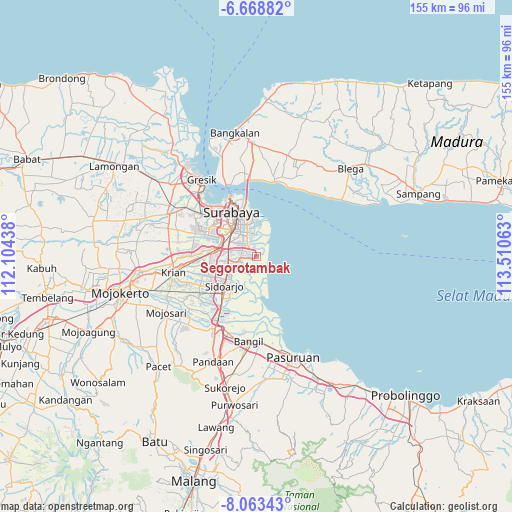
Segorotambak GPS coordinates[2]
7° 22' 0.012" South, 112° 48' 27" East
| Map corner | latitude | longitude |
|---|---|---|
| Upper-left | -6.66882°, | 112.10438° |
| Center: | -7.36667°, | 112.8075° |
| Lower-right: | -8.06343°, | 113.51063° |
| Map W x H: | 155.1×155.1 km | = 96.4×96.4mi |
| max Lat: | 5.88969° ⇑52% North |
| Segorotambak: | -7.36667° |
| min Lat: | ⇓48% South -10.934° |
| min Long | Segorotambak | max Long |
| 95.1345° | 112.8075° | 140.9419° |
| W 57.9%⇐ | ⇒42.1% E |
Elevation
Elevation of Segorotambak is 4 m = 13 ft, and this is 225.7 m = 740 ft below average elevation for this country.
| Max E: |
3185 m = 10449 ft | 99.1% |
| Avg. | 229.7 m = 754 ft | |
| Segorotambak | 4 m = 13 ft | |
Min E: |
-1 m = -3 ft | 0.9% |
See also: Indonesia elevation on elevation.city.
Geographical zone
Segorotambak is located in South Torrid zone (between Equator and Tropic of Capricorn). Distance of Equator is 819.1 km =509 mi to North.| Distance of | km | miles | from Segorotambak |
|---|---|---|---|
| Equator | 819.1 | 509 | to North |
| Tropic Capricorn | 1786.8 | 1110.3 | to South |
| Antarctic Circle | 6582.1 | 4089.9 | to South |
| South Pole | 9188 | 5709.2 | to South |


Nearby cities:
15 places around Segorotambak: (largest is in red/bold)
• Banjarkemuning
2.2 km =1.4 mi,  177°
177°
• Berbek
5.3 km =3.3 mi,  294°
294°
• Buncitan
4.4 km =2.7 mi,  221°
221°
• Dares
5 km =3.1 mi,  267°
267°
• Dukuhgisikcemandi
2.6 km =1.6 mi, 182°
• Gununganyar
4 km =2.5 mi,  315°
315°
• Gununganyartambak Tengah
3.3 km =2.1 mi,  349°
349°
• Kalanganyartambak
4 km =2.5 mi,  202°
202°
• Medokanayu
4.7 km =2.9 mi, 348°
• Sedati
5.4 km =3.4 mi,  234°
234°
• Sedatigede
5.1 km =3.2 mi,  257°
257°
• Semampirbarat
3.9 km =2.4 mi, 260°
• Tambakoso
2.3 km =1.4 mi, 350°
• Tambaksumur
4.3 km =2.7 mi,  297°
297°
• Wadungasri
4.9 km =3 mi, 299°
Sources, notices
• [Note1] Compared only with cities in Indonesia existing in our database
• [Src1] Map data: © OpenStreetMap contributors (CC-BY-SA)
• [Src2] Other city data from geonames.org with taken over terms of usage.
• [Src3] Geographical zone / Annual Mean Temperature by Robert A. Rohde @ Wikipedia
