Kebayakan geodata
Kebayakan (Aceh) is a seat of a third-order administrative division; located in Indonesia in Asia/Jakarta (GMT+7) time zone. In our database, there are 407 cities with bigger population. Compared to other cities in Indonesia, 99.3% of cities are located further ↓South; 99.2% of cities are located further →East and 99.2% of cities have lower elevation than Kebayakan. Note1


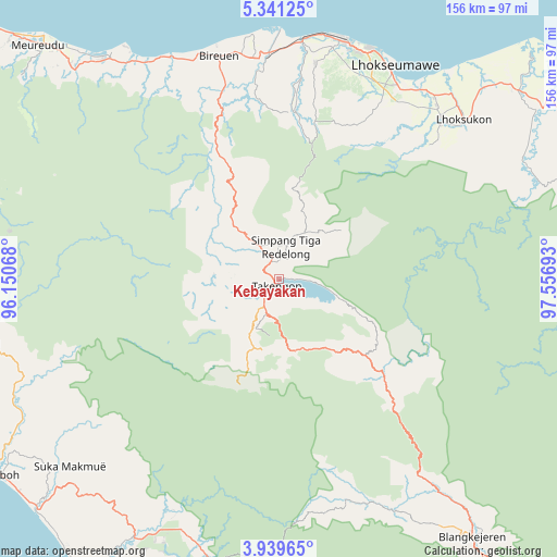
Kebayakan GPS coordinates[2]
4° 38' 26.88" North, 96° 51' 13.68" East
| Map corner | latitude | longitude |
|---|---|---|
| Upper-left | 5.34125°, | 96.15068° |
| Center: | 4.6408°, | 96.8538° |
| Lower-right: | 3.93965°, | 97.55693° |
| Map W x H: | 155.8×155.8 km | = 96.8×96.8mi |
| max Lat: | 5.88969° ⇑0.7% North |
| Kebayakan: | 4.6408° |
| min Lat: | ⇓99.3% South -10.934° |
| min Long | Kebayakan | max Long |
| 95.1345° | 96.8538° | 140.9419° |
| W 0.8%⇐ | ⇒99.2% E |
Elevation
Elevation of Kebayakan is 1241 m = 4072 ft, and this is 1011.3 m = 3318 ft above average elevation for this country.
| Max E: |
3185 m = 10449 ft | 0.8% |
| Kebayakan | 1241 m 4072 ft | |
| Avg. | 229.7 m = 754 ft | |
Min E: |
-1 m = -3 ft | 99.2% |
See also: Indonesia elevation on elevation.city.
Geographical zone
Kebayakan is located in North Torrid zone (between Equator and Tropic of Cancer). Distance of Equator is 516 km =320.6 mi to South.| Distance of | km | miles | from Kebayakan |
|---|---|---|---|
| North Pole | 9491.1 | 5897.5 | to North |
| Arctic Circle | 6885.2 | 4278.3 | to North |
| Tropic Cancer | 2089.9 | 1298.6 | to North |
| Equator | 516 | 320.6 | to South |


Nearby cities:
15 places around Kebayakan: (largest is in red/bold)
• Alue Glumpang
49.8 km =30.9 mi,  348°
348°
• Angkup
14.7 km =9.1 mi,  261°
261°
• Blang Mane
42.8 km =26.6 mi, 347°
• Bulahblangaro
49.5 km =30.8 mi,  359°
359°
• Celala
18.6 km =11.6 mi,  254°
254°
• Isak
20.4 km =12.7 mi,  171°
171°
• Jagongjeget
29 km =18 mi,  193°
193°
• Kemil
11 km =6.8 mi, 258°
• Kuala Bintang
14.1 km =8.8 mi,  121°
121°
• Kute Panang
13.3 km =8.3 mi,  274°
274°
• Pegasing
11.2 km =7 mi,  230°
230°
• Rusip
27.2 km =16.9 mi,  276°
276°
• Simpang Teritit
6.3 km =3.9 mi,  2°
2°
• Simpang Tiga Redelong
9.3 km =5.8 mi,  14°
14°
• Takengon
2.3 km =1.4 mi,  199°
199°
Sources, notices
• [Note1] Compared only with cities in Indonesia existing in our database
• [Src1] Map data: © OpenStreetMap contributors (CC-BY-SA)
• [Src2] Other city data from geonames.org with taken over terms of usage.
• [Src3] Geographical zone / Annual Mean Temperature by Robert A. Rohde @ Wikipedia
