Banjar Delodrurung geodata
Banjar Delodrurung (Bali) is a seat of a fourth-order administrative division; located in Indonesia in Asia/Makassar (GMT+8) time zone. In our database, there are 407 cities with bigger population. Compared to other cities in Indonesia, 83.5% of cities are located further ↑North; 70.8% of cities are located further ←West and 56.9% of cities have lower elevation than Banjar Delodrurung. Note1


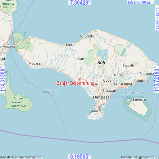
Banjar Delodrurung GPS coordinates[2]
8° 30' 1.08" South, 115° 1' 7.68" East
| Map corner | latitude | longitude |
|---|---|---|
| Upper-left | -7.80428°, | 114.31568° |
| Center: | -8.5003°, | 115.0188° |
| Lower-right: | -9.19505°, | 115.72193° |
| Map W x H: | 154.6×154.6 km | = 96.1×96.1mi |
| max Lat: | 5.88969° ⇑83.5% North |
| Banjar Delodrurung: | -8.5003° |
| min Lat: | ⇓16.5% South -10.934° |
| min Long | Banjar Delodrur | max Long |
| 95.1345° | 115.0188° | 140.9419° |
| W 70.8%⇐ | ⇒29.2% E |
Elevation
Elevation of Banjar Delodrurung is 136 m = 446 ft, and this is 93.7 m = 307 ft below average elevation for this country.
| Max E: |
3185 m = 10449 ft | 43.1% |
| Avg. | 229.7 m = 754 ft | |
| Banjar Delodrurung | 136 m = 446 ft | |
Min E: |
-1 m = -3 ft | 56.9% |
See also: Indonesia elevation on elevation.city.
Geographical zone
Banjar Delodrurung is located in South Torrid zone (between Equator and Tropic of Capricorn). Distance of Equator is 945.1 km =587.3 mi to North.| Distance of | km | miles | from Banjar Delodrurung |
|---|---|---|---|
| Equator | 945.1 | 587.3 | to North |
| Tropic Capricorn | 1660.8 | 1032 | to South |
| Antarctic Circle | 6456 | 4011.6 | to South |
| South Pole | 9061.9 | 5630.8 | to South |


Nearby cities:
15 places around Banjar Delodrurung: (largest is in red/bold)
• Angkahgede
4.1 km =2.5 mi,  355°
355°
• Bajera
0.9 km =0.6 mi,  116°
116°
• Banjar Baleagung
1.9 km =1.2 mi,  111°
111°
• Banjar Bantasbaleagung
5.5 km =3.4 mi,  94°
94°
• Banjar Beraban Kangin
6.8 km =4.2 mi,  157°
157°
• Banjar Gablogan
1.6 km =1 mi,  137°
137°
• Banjar Kebon
5.8 km =3.6 mi, 140°
• Banjar Mambanggede
5.6 km =3.5 mi, 119°
• Banjar Meliling Kawan
7 km =4.3 mi,  98°
98°
• Banjar Soka Kaja
2.9 km =1.8 mi,  202°
202°
• Banjar Tegalmengkeb Kaja
4 km =2.5 mi, 155°
• Carik
6.7 km =4.2 mi,  73°
73°
• Laleng
6.5 km =4 mi,  27°
27°
• Megati Kelod
4.1 km =2.5 mi, 86°
• Selemadeg Kelod
2.5 km =1.6 mi,  78°
78°
Sources, notices
• [Note1] Compared only with cities in Indonesia existing in our database
• [Src1] Map data: © OpenStreetMap contributors (CC-BY-SA)
• [Src2] Other city data from geonames.org with taken over terms of usage.
• [Src3] Geographical zone / Annual Mean Temperature by Robert A. Rohde @ Wikipedia
