Banjar Keraman geodata
Banjar Keraman (Bali) is a seat of a fourth-order administrative division; located in Indonesia in Asia/Makassar (GMT+8) time zone. In our database, there are 407 cities with bigger population. Compared to other cities in Indonesia, 84.5% of cities are located further ↑North; 72.7% of cities are located further ←West and 60.2% of cities have lower elevation than Banjar Keraman. Note1


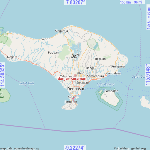
Banjar Keraman GPS coordinates[2]
8° 31' 40.944" South, 115° 12' 42.012" East
| Map corner | latitude | longitude |
|---|---|---|
| Upper-left | -7.83207°, | 114.50855° |
| Center: | -8.52804°, | 115.21167° |
| Lower-right: | -9.22274°, | 115.9148° |
| Map W x H: | 154.6×154.6 km | = 96.1×96.1mi |
| max Lat: | 5.88969° ⇑84.5% North |
| Banjar Keraman: | -8.52804° |
| min Lat: | ⇓15.5% South -10.934° |
| min Long | Banjar Keraman | max Long |
| 95.1345° | 115.21167° | 140.9419° |
| W 72.7%⇐ | ⇒27.3% E |
Elevation
Elevation of Banjar Keraman is 166 m = 545 ft, and this is 63.7 m = 209 ft below average elevation for this country.
| Max E: |
3185 m = 10449 ft | 39.8% |
| Avg. | 229.7 m = 754 ft | |
| Banjar Keraman | 166 m = 545 ft | |
Min E: |
-1 m = -3 ft | 60.2% |
See also: Indonesia elevation on elevation.city.
Geographical zone
Banjar Keraman is located in South Torrid zone (between Equator and Tropic of Capricorn). Distance of Equator is 948.2 km =589.2 mi to North.| Distance of | km | miles | from Banjar Keraman |
|---|---|---|---|
| Equator | 948.2 | 589.2 | to North |
| Tropic Capricorn | 1657.7 | 1030 | to South |
| Antarctic Circle | 6452.9 | 4009.6 | to South |
| South Pole | 9058.8 | 5628.9 | to South |


Nearby cities:
15 places around Banjar Keraman: (largest is in red/bold)
• Banjar Badung Tengah
2.7 km =1.7 mi,  330°
330°
• Banjar Cemenggon
1.8 km =1.1 mi,  227°
227°
• Banjar Kedua
3 km =1.9 mi,  291°
291°
• Banjar Kembangsari
2.1 km =1.3 mi,  357°
357°
• Banjar Lebahsari
4.4 km =2.7 mi,  244°
244°
• Banjar Mambalkajanan
2.8 km =1.7 mi,  152°
152°
• Banjar Pande
3.5 km =2.2 mi,  61°
61°
• Banjar Sayanbaleran
4.2 km =2.6 mi,  305°
305°
• Banjar Sempidi
0.8 km =0.5 mi, 308°
• Banjar Serangan
4.8 km =3 mi,  249°
249°
• Banjar Tebongkang
3.5 km =2.2 mi,  91°
91°
• Banjar Teguan
3.2 km =2 mi,  38°
38°
• Banjar Tengah
3.8 km =2.4 mi, 329°
• Banjar Ulapan Satu
2.1 km =1.3 mi,  8°
8°
• Brahmana
4.6 km =2.9 mi, 357°
Sources, notices
• [Note1] Compared only with cities in Indonesia existing in our database
• [Src1] Map data: © OpenStreetMap contributors (CC-BY-SA)
• [Src2] Other city data from geonames.org with taken over terms of usage.
• [Src3] Geographical zone / Annual Mean Temperature by Robert A. Rohde @ Wikipedia
