Bojawa geodata
Bojawa (East Nusa Tenggara) is a seat of a fourth-order administrative division; located in Indonesia in Asia/Makassar (GMT+8) time zone. In our database, there are 407 cities with bigger population. Compared to other cities in Indonesia, 91.9% of cities are located further ↑North; 85.4% of cities are located further ←West and 98.8% of cities have lower elevation than Bojawa. Note1


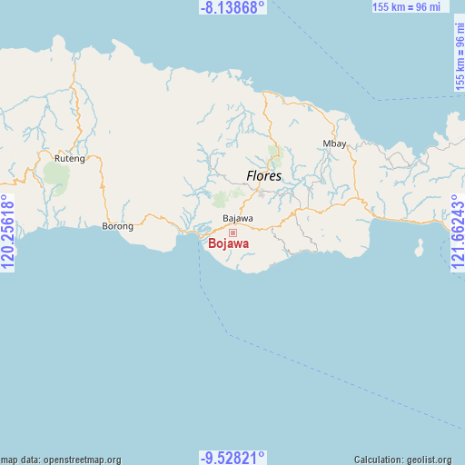
Bojawa GPS coordinates[2]
8° 50' 2.76" South, 120° 57' 33.48" East
| Map corner | latitude | longitude |
|---|---|---|
| Upper-left | -8.13868°, | 120.25618° |
| Center: | -8.8341°, | 120.9593° |
| Lower-right: | -9.52821°, | 121.66243° |
| Map W x H: | 154.5×154.5 km | = 96×96mi |
| max Lat: | 5.88969° ⇑91.9% North |
| Bojawa: | -8.8341° |
| min Lat: | ⇓8.1% South -10.934° |
| min Long | Bojawa | max Long |
| 95.1345° | 120.9593° | 140.9419° |
| W 85.4%⇐ | ⇒14.6% E |
Elevation
Elevation of Bojawa is 1178 m = 3865 ft, and this is 948.3 m = 3111 ft above average elevation for this country.
| Max E: |
3185 m = 10449 ft | 1.2% |
| Bojawa | 1178 m 3865 ft | |
| Avg. | 229.7 m = 754 ft | |
Min E: |
-1 m = -3 ft | 98.8% |
See also: Indonesia elevation on elevation.city.
Geographical zone
Bojawa is located in South Torrid zone (between Equator and Tropic of Capricorn). Distance of Equator is 982.3 km =610.4 mi to North.| Distance of | km | miles | from Bojawa |
|---|---|---|---|
| Equator | 982.3 | 610.4 | to North |
| Tropic Capricorn | 1623.7 | 1008.9 | to South |
| Antarctic Circle | 6418.9 | 3988.5 | to South |
| South Pole | 9024.8 | 5607.7 | to South |


Nearby cities:
15 places around Bojawa: (largest is in red/bold)
• Bajawa
5.7 km =3.5 mi,  16°
16°
• Bogenga
6.4 km =4 mi,  1°
1°
• Bongewu
6.2 km =3.9 mi,  354°
354°
• Bosiko
4.4 km =2.7 mi,  52°
52°
• Kisanata
5 km =3.1 mi,  13°
13°
• Lekosoro
6.1 km =3.8 mi, 20°
• Mangulewa
6.7 km =4.2 mi,  75°
75°
• Mari
0.8 km =0.5 mi, 20°
• Ngedukelu
5.4 km =3.4 mi, 18°
• Nuamuzi
6.3 km =3.9 mi,  113°
113°
• Ranisoba
6.7 km =4.2 mi, 79°
• Sobo
7 km =4.3 mi, 80°
• Tanalodu
5.1 km =3.2 mi, 18°
• Trikora
5.5 km =3.4 mi, 14°
• Warekeo
5.8 km =3.6 mi,  101°
101°
Sources, notices
• [Note1] Compared only with cities in Indonesia existing in our database
• [Src1] Map data: © OpenStreetMap contributors (CC-BY-SA)
• [Src2] Other city data from geonames.org with taken over terms of usage.
• [Src3] Geographical zone / Annual Mean Temperature by Robert A. Rohde @ Wikipedia
