Ngamba geodata
Ngamba (East Java) is a seat of a fourth-order administrative division; located in Indonesia in Asia/Jakarta (GMT+7) time zone. In our database, there are 407 cities with bigger population. Compared to other cities in Indonesia, 61.9% of cities are located further ↑North; 50.2% of cities are located further →East and 50.8% of cities have higher elevation than Ngamba. Note1


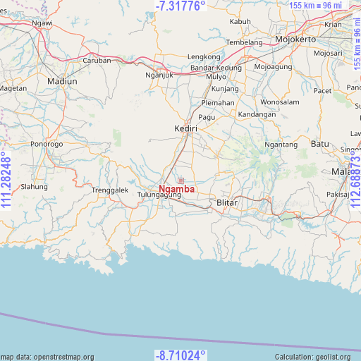
Ngamba GPS coordinates[2]
8° 0' 52.56" South, 111° 59' 8.16" East
| Map corner | latitude | longitude |
|---|---|---|
| Upper-left | -7.31776°, | 111.28248° |
| Center: | -8.0146°, | 111.9856° |
| Lower-right: | -8.71024°, | 112.68873° |
| Map W x H: | 154.8×154.8 km | = 96.2×96.2mi |
| max Lat: | 5.88969° ⇑61.9% North |
| Ngamba: | -8.0146° |
| min Lat: | ⇓38.1% South -10.934° |
| min Long | Ngamba | max Long |
| 95.1345° | 111.9856° | 140.9419° |
| W 49.8%⇐ | ⇒50.2% E |
Elevation
Elevation of Ngamba is 99 m = 325 ft, and this is 130.7 m = 429 ft below average elevation for this country.
| Max E: |
3185 m = 10449 ft | 50.8% |
| Avg. | 229.7 m = 754 ft | |
| Ngamba | 99 m = 325 ft | |
Min E: |
-1 m = -3 ft | 49.2% |
See also: Indonesia elevation on elevation.city.
Geographical zone
Ngamba is located in South Torrid zone (between Equator and Tropic of Capricorn). Distance of Equator is 891.1 km =553.7 mi to North.| Distance of | km | miles | from Ngamba |
|---|---|---|---|
| Equator | 891.1 | 553.7 | to North |
| Tropic Capricorn | 1714.8 | 1065.5 | to South |
| Antarctic Circle | 6510 | 4045.1 | to South |
| South Pole | 9115.9 | 5664.4 | to South |


Nearby cities:
15 places around Ngamba: (largest is in red/bold)
• Balong
3.6 km =2.2 mi,  237°
237°
• Bangoan
5.9 km =3.7 mi, 236°
• Bulusari
5.6 km =3.5 mi,  224°
224°
• Jati
5.5 km =3.4 mi,  212°
212°
• Kaliboto
3.2 km =2 mi,  191°
191°
• Mayangan
4.2 km =2.6 mi,  230°
230°
• Ngrawan
2.3 km =1.4 mi,  199°
199°
• Pinggirsari
5 km =3.1 mi,  257°
257°
• Pucung
4.5 km =2.8 mi, 197°
• Pulerejo
5.1 km =3.2 mi,  284°
284°
• Salam
1.6 km =1 mi, 221°
• Sambirobyong
5.9 km =3.7 mi, 197°
• Tambakrejo
2.4 km =1.5 mi, 279°
• Tawangrejo
2.5 km =1.6 mi,  159°
159°
• Temenggungan
1.5 km =0.9 mi,  347°
347°
Sources, notices
• [Note1] Compared only with cities in Indonesia existing in our database
• [Src1] Map data: © OpenStreetMap contributors (CC-BY-SA)
• [Src2] Other city data from geonames.org with taken over terms of usage.
• [Src3] Geographical zone / Annual Mean Temperature by Robert A. Rohde @ Wikipedia
