Rancabugel geodata
Rancabugel (Banten) is a seat of a fourth-order administrative division; located in Indonesia in Asia/Jakarta (GMT+7) time zone. In our database, there are 407 cities with bigger population. Compared to other cities in Indonesia, 85.2% of cities are located further ↓South; 90.5% of cities are located further →East and 54.2% of cities have lower elevation than Rancabugel. Note1


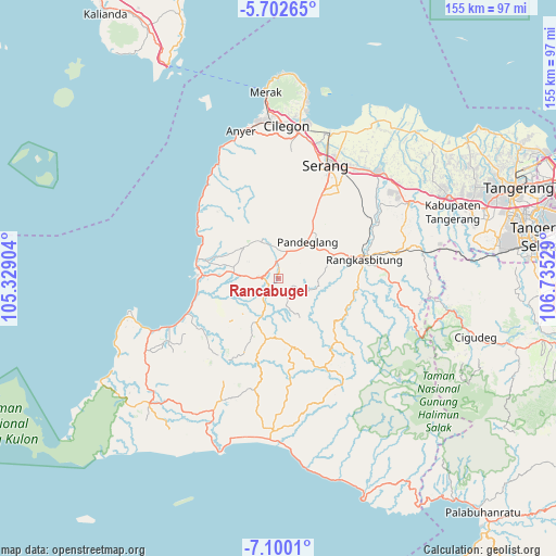
Rancabugel GPS coordinates[2]
6° 24' 6.66" South, 106° 1' 55.776" East
| Map corner | latitude | longitude |
|---|---|---|
| Upper-left | -5.70265°, | 105.32904° |
| Center: | -6.40185°, | 106.03216° |
| Lower-right: | -7.1001°, | 106.73529° |
| Map W x H: | 155.4×155.4 km | = 96.6×96.6mi |
| max Lat: | 5.88969° ⇑14.8% North |
| Rancabugel: | -6.40185° |
| min Lat: | ⇓85.2% South -10.934° |
| min Long | Rancabugel | max Long |
| 95.1345° | 106.03216° | 140.9419° |
| W 9.5%⇐ | ⇒90.5% E |
Elevation
Elevation of Rancabugel is 120 m = 394 ft, and this is 109.7 m = 360 ft below average elevation for this country.
| Max E: |
3185 m = 10449 ft | 45.8% |
| Avg. | 229.7 m = 754 ft | |
| Rancabugel | 120 m = 394 ft | |
Min E: |
-1 m = -3 ft | 54.2% |
See also: Indonesia elevation on elevation.city.
Geographical zone
Rancabugel is located in South Torrid zone (between Equator and Tropic of Capricorn). Distance of Equator is 711.8 km =442.3 mi to North.| Distance of | km | miles | from Rancabugel |
|---|---|---|---|
| Equator | 711.8 | 442.3 | to North |
| Tropic Capricorn | 1894.1 | 1176.9 | to South |
| Antarctic Circle | 6689.4 | 4156.6 | to South |
| South Pole | 9295.2 | 5775.8 | to South |


Nearby cities:
15 places around Rancabugel: (largest is in red/bold)
• Babakan
2.3 km =1.4 mi,  220°
220°
• Cigembor
4.1 km =2.5 mi,  172°
172°
• Cikaduen
3.3 km =2.1 mi,  288°
288°
• Gajahmada
3.4 km =2.1 mi,  319°
319°
• Kadugadung
2.6 km =1.6 mi, 322°
• Kadulomber
3.7 km =2.3 mi,  16°
16°
• Kampungdukuh
0.2 km =0.1 mi,  274°
274°
• Koncang
2.1 km =1.3 mi, 266°
• Parakan
3.3 km =2.1 mi,  234°
234°
• Parumasan Timur
1.6 km =1 mi,  344°
344°
• Pasirawi
2.4 km =1.5 mi,  47°
47°
• Saketipasar
4.2 km =2.6 mi, 270°
• Sekong
2.9 km =1.8 mi,  3°
3°
• Sobong
3.4 km =2.1 mi,  313°
313°
• Turus
2.7 km =1.7 mi,  105°
105°
Sources, notices
• [Note1] Compared only with cities in Indonesia existing in our database
• [Src1] Map data: © OpenStreetMap contributors (CC-BY-SA)
• [Src2] Other city data from geonames.org with taken over terms of usage.
• [Src3] Geographical zone / Annual Mean Temperature by Robert A. Rohde @ Wikipedia
