Pesantren geodata
Pesantren (West Java) is a seat of a fourth-order administrative division; located in Indonesia in Asia/Jakarta (GMT+7) time zone. In our database, there are 407 cities with bigger population. Compared to other cities in Indonesia, 52.2% of cities are located further ↑North; 79.4% of cities are located further →East and 86.1% of cities have lower elevation than Pesantren. Note1


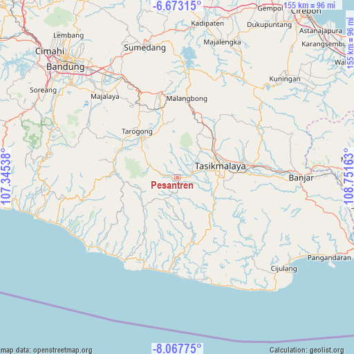
Pesantren GPS coordinates[2]
7° 22' 15.6" South, 108° 2' 54.6" East
| Map corner | latitude | longitude |
|---|---|---|
| Upper-left | -6.67315°, | 107.34538° |
| Center: | -7.371°, | 108.0485° |
| Lower-right: | -8.06775°, | 108.75163° |
| Map W x H: | 155.1×155.1 km | = 96.4×96.4mi |
| max Lat: | 5.88969° ⇑52.2% North |
| Pesantren: | -7.371° |
| min Lat: | ⇓47.8% South -10.934° |
| min Long | Pesantren | max Long |
| 95.1345° | 108.0485° | 140.9419° |
| W 20.6%⇐ | ⇒79.4% E |
Elevation
Elevation of Pesantren is 537 m = 1762 ft, and this is 307.3 m = 1008 ft above average elevation for this country.
| Max E: |
3185 m = 10449 ft | 13.9% |
| Pesantren | 537 m 1762 ft | |
| Avg. | 229.7 m = 754 ft | |
Min E: |
-1 m = -3 ft | 86.1% |
See also: Indonesia elevation on elevation.city.
Geographical zone
Pesantren is located in South Torrid zone (between Equator and Tropic of Capricorn). Distance of Equator is 819.6 km =509.3 mi to North.| Distance of | km | miles | from Pesantren |
|---|---|---|---|
| Equator | 819.6 | 509.3 | to North |
| Tropic Capricorn | 1786.3 | 1110 | to South |
| Antarctic Circle | 6581.6 | 4089.6 | to South |
| South Pole | 9187.5 | 5708.8 | to South |


Nearby cities:
15 places around Pesantren: (largest is in red/bold)
• Ciawitali
2 km =1.2 mi,  133°
133°
• Cibongkok
3.9 km =2.4 mi,  240°
240°
• Ciuyah
2.5 km =1.6 mi,  25°
25°
• Ciwidara
2.2 km =1.4 mi,  94°
94°
• Dangur
4.1 km =2.5 mi,  72°
72°
• Jayapura
2.8 km =1.7 mi,  319°
319°
• Lajaluhur
4.7 km =2.9 mi,  294°
294°
• Nagrog
2.9 km =1.8 mi,  224°
224°
• Parakanpanjang
4.4 km =2.7 mi,  56°
56°
• Parawan
1.7 km =1.1 mi,  11°
11°
• Pasirsalam
4.2 km =2.6 mi, 130°
• Pepayan
2.9 km =1.8 mi,  278°
278°
• Salawu
1.8 km =1.1 mi,  254°
254°
• Sukasukur
3 km =1.9 mi,  95°
95°
• Warungpeuteuy
0.7 km =0.4 mi,  189°
189°
Sources, notices
• [Note1] Compared only with cities in Indonesia existing in our database
• [Src1] Map data: © OpenStreetMap contributors (CC-BY-SA)
• [Src2] Other city data from geonames.org with taken over terms of usage.
• [Src3] Geographical zone / Annual Mean Temperature by Robert A. Rohde @ Wikipedia
