Bangker geodata
Bangker (Central Java) is a seat of a fourth-order administrative division; located in Indonesia in Asia/Jakarta (GMT+7) time zone. In our database, there are 407 cities with bigger population. Compared to other cities in Indonesia, 79% of cities are located further ↓South; 61.3% of cities are located further →East and 78.9% of cities have higher elevation than Bangker. Note1


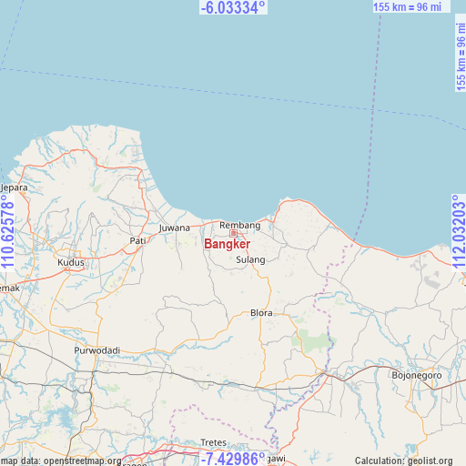
Bangker GPS coordinates[2]
6° 43' 55.56" South, 111° 19' 44.04" East
| Map corner | latitude | longitude |
|---|---|---|
| Upper-left | -6.03334°, | 110.62578° |
| Center: | -6.7321°, | 111.3289° |
| Lower-right: | -7.42986°, | 112.03203° |
| Map W x H: | 155.3×155.3 km | = 96.5×96.5mi |
| max Lat: | 5.88969° ⇑21% North |
| Bangker: | -6.7321° |
| min Lat: | ⇓79% South -10.934° |
| min Long | Bangker | max Long |
| 95.1345° | 111.3289° | 140.9419° |
| W 38.7%⇐ | ⇒61.3% E |
Elevation
Elevation of Bangker is 20 m = 66 ft, and this is 209.7 m = 688 ft below average elevation for this country.
| Max E: |
3185 m = 10449 ft | 78.9% |
| Avg. | 229.7 m = 754 ft | |
| Bangker | 20 m = 66 ft | |
Min E: |
-1 m = -3 ft | 21.1% |
See also: Indonesia elevation on elevation.city.
Geographical zone
Bangker is located in South Torrid zone (between Equator and Tropic of Capricorn). Distance of Equator is 748.5 km =465.1 mi to North.| Distance of | km | miles | from Bangker |
|---|---|---|---|
| Equator | 748.5 | 465.1 | to North |
| Tropic Capricorn | 1857.4 | 1154.1 | to South |
| Antarctic Circle | 6652.6 | 4133.7 | to South |
| South Pole | 9258.5 | 5753 | to South |


Nearby cities:
15 places around Bangker: (largest is in red/bold)
• Kebonagung
2.8 km =1.7 mi,  142°
142°
• Kedungdoro
2.5 km =1.6 mi,  49°
49°
• Ketanggi
1.2 km =0.7 mi,  87°
87°
• Mondoteko
1.8 km =1.1 mi,  103°
103°
• Ngadem
1.2 km =0.7 mi,  125°
125°
• Ngotet Kidul
3.2 km =2 mi, 87°
• Pentil
3.1 km =1.9 mi,  229°
229°
• Pragu
2.4 km =1.5 mi,  160°
160°
• Pulo
0.6 km =0.4 mi,  22°
22°
• Sawahan
2.8 km =1.7 mi, 23°
• Seren Barat
3 km =1.9 mi,  174°
174°
• Sidowayah Kidul
2.4 km =1.5 mi,  56°
56°
• Sumberejo
2.6 km =1.6 mi,  28°
28°
• Trambalan
3.1 km =1.9 mi,  188°
188°
• Waru Selatan
1.6 km =1 mi,  343°
343°
Sources, notices
• [Note1] Compared only with cities in Indonesia existing in our database
• [Src1] Map data: © OpenStreetMap contributors (CC-BY-SA)
• [Src2] Other city data from geonames.org with taken over terms of usage.
• [Src3] Geographical zone / Annual Mean Temperature by Robert A. Rohde @ Wikipedia
