Walahar geodata
Walahar (West Java) is a seat of a fourth-order administrative division; located in Indonesia in Asia/Jakarta (GMT+7) time zone. In our database, there are 407 cities with bigger population. Compared to other cities in Indonesia, 63.3% of cities are located further ↓South; 70.1% of cities are located further →East and 54.8% of cities have lower elevation than Walahar. Note1


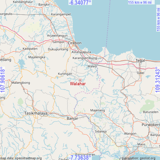
Walahar GPS coordinates[2]
7° 2' 20.76" South, 108° 36' 33.48" East
| Map corner | latitude | longitude |
|---|---|---|
| Upper-left | -6.34077°, | 107.90618° |
| Center: | -7.0391°, | 108.6093° |
| Lower-right: | -7.73638°, | 109.31243° |
| Map W x H: | 155.2×155.2 km | = 96.4×96.4mi |
| max Lat: | 5.88969° ⇑36.7% North |
| Walahar: | -7.0391° |
| min Lat: | ⇓63.3% South -10.934° |
| min Long | Walahar | max Long |
| 95.1345° | 108.6093° | 140.9419° |
| W 29.9%⇐ | ⇒70.1% E |
Elevation
Elevation of Walahar is 124 m = 407 ft, and this is 105.7 m = 347 ft below average elevation for this country.
| Max E: |
3185 m = 10449 ft | 45.2% |
| Avg. | 229.7 m = 754 ft | |
| Walahar | 124 m = 407 ft | |
Min E: |
-1 m = -3 ft | 54.8% |
See also: Indonesia elevation on elevation.city.
Geographical zone
Walahar is located in South Torrid zone (between Equator and Tropic of Capricorn). Distance of Equator is 782.7 km =486.3 mi to North.| Distance of | km | miles | from Walahar |
|---|---|---|---|
| Equator | 782.7 | 486.3 | to North |
| Tropic Capricorn | 1823.2 | 1132.9 | to South |
| Antarctic Circle | 6618.5 | 4112.5 | to South |
| South Pole | 9224.4 | 5731.8 | to South |


Nearby cities:
15 places around Walahar: (largest is in red/bold)
• Baok
3.2 km =2 mi,  89°
89°
• Buniaga
3.2 km =2 mi,  284°
284°
• Cigedang
3.1 km =1.9 mi,  66°
66°
• Cinagara
2.9 km =1.8 mi,  302°
302°
• Cineumbeuy
2.6 km =1.6 mi,  311°
311°
• Cipetir
1.7 km =1.1 mi,  342°
342°
• Dukuhpicung
2.2 km =1.4 mi,  103°
103°
• Garahaji
1.2 km =0.7 mi,  169°
169°
• Kedatuan
2.4 km =1.5 mi,  264°
264°
• Lebakwangi
2.6 km =1.6 mi, 340°
• Margasari
2.8 km =1.7 mi,  35°
35°
• Pabuaran
1.5 km =0.9 mi,  204°
204°
• Rahayu
2.7 km =1.7 mi,  21°
21°
• Sindangsari
2 km =1.2 mi,  62°
62°
• Wilanagara
1.9 km =1.2 mi, 85°
Sources, notices
• [Note1] Compared only with cities in Indonesia existing in our database
• [Src1] Map data: © OpenStreetMap contributors (CC-BY-SA)
• [Src2] Other city data from geonames.org with taken over terms of usage.
• [Src3] Geographical zone / Annual Mean Temperature by Robert A. Rohde @ Wikipedia
