Tanggungrejo geodata
Tanggungrejo (East Java) is a seat of a fourth-order administrative division; located in Indonesia in Asia/Jakarta (GMT+7) time zone. In our database, there are 407 cities with bigger population. Compared to other cities in Indonesia, 66.7% of cities are located further ↓South; 52.2% of cities are located further →East and 67.7% of cities have lower elevation than Tanggungrejo. Note1


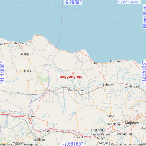
Tanggungrejo GPS coordinates[2]
6° 59' 39.48" South, 111° 51' 7.92" East
| Map corner | latitude | longitude |
|---|---|---|
| Upper-left | -6.2959°, | 111.14908° |
| Center: | -6.9943°, | 111.8522° |
| Lower-right: | -7.69165°, | 112.55533° |
| Map W x H: | 155.2×155.2 km | = 96.4×96.4mi |
| max Lat: | 5.88969° ⇑33.3% North |
| Tanggungrejo: | -6.9943° |
| min Lat: | ⇓66.7% South -10.934° |
| min Long | Tanggungrejo | max Long |
| 95.1345° | 111.8522° | 140.9419° |
| W 47.8%⇐ | ⇒52.2% E |
Elevation
Elevation of Tanggungrejo is 260 m = 853 ft, and this is 30.3 m = 99 ft above average elevation for this country.
| Max E: |
3185 m = 10449 ft | 32.3% |
| Tanggungrejo | 260 m 853 ft | |
| Avg. | 229.7 m = 754 ft | |
Min E: |
-1 m = -3 ft | 67.7% |
See also: Indonesia elevation on elevation.city.
Geographical zone
Tanggungrejo is located in South Torrid zone (between Equator and Tropic of Capricorn). Distance of Equator is 777.7 km =483.2 mi to North.| Distance of | km | miles | from Tanggungrejo |
|---|---|---|---|
| Equator | 777.7 | 483.2 | to North |
| Tropic Capricorn | 1828.2 | 1136 | to South |
| Antarctic Circle | 6623.5 | 4115.7 | to South |
| South Pole | 9229.4 | 5734.9 | to South |


Nearby cities:
15 places around Tanggungrejo: (largest is in red/bold)
• Bawi Kulon
7.3 km =4.5 mi,  18°
18°
• Bean
6.4 km =4 mi,  57°
57°
• Bringin
5.8 km =3.6 mi,  102°
102°
• Guwoterus
5.3 km =3.3 mi,  328°
328°
• Jetak
7.4 km =4.6 mi,  54°
54°
• Jojogan
7.5 km =4.7 mi,  290°
290°
• Montongsekar
6 km =3.7 mi,  32°
32°
• Mulyoagung
7.8 km =4.8 mi, 294°
• Ngablak
6.7 km =4.2 mi, 290°
• Nguluhan
2.5 km =1.6 mi,  313°
313°
• Pakel
6.5 km =4 mi, 49°
• Pandayan Dua
7.3 km =4.5 mi,  267°
267°
• Pucangan
7.7 km =4.8 mi,  43°
43°
• Talangkembar
4.2 km =2.6 mi,  9°
9°
• Tawangsari
8.5 km =5.3 mi, 268°
Sources, notices
• [Note1] Compared only with cities in Indonesia existing in our database
• [Src1] Map data: © OpenStreetMap contributors (CC-BY-SA)
• [Src2] Other city data from geonames.org with taken over terms of usage.
• [Src3] Geographical zone / Annual Mean Temperature by Robert A. Rohde @ Wikipedia
