Gayam geodata
Gayam (East Java) is a seat of a fourth-order administrative division; located in Indonesia in Asia/Jakarta (GMT+7) time zone. In our database, there are 407 cities with bigger population. Compared to other cities in Indonesia, 73.5% of cities are located further ↑North; 59.1% of cities are located further →East and 79.9% of cities have higher elevation than Gayam. Note1


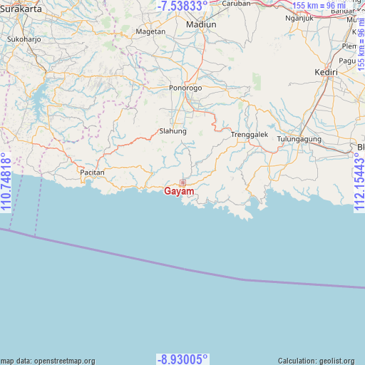
Gayam GPS coordinates[2]
8° 14' 5.28" South, 111° 27' 4.68" East
| Map corner | latitude | longitude |
|---|---|---|
| Upper-left | -7.53833°, | 110.74818° |
| Center: | -8.2348°, | 111.4513° |
| Lower-right: | -8.93005°, | 112.15443° |
| Map W x H: | 154.7×154.7 km | = 96.1×96.1mi |
| max Lat: | 5.88969° ⇑73.5% North |
| Gayam: | -8.2348° |
| min Lat: | ⇓26.5% South -10.934° |
| min Long | Gayam | max Long |
| 95.1345° | 111.4513° | 140.9419° |
| W 40.9%⇐ | ⇒59.1% E |
Elevation
Elevation of Gayam is 19 m = 62 ft, and this is 210.7 m = 691 ft below average elevation for this country.
| Max E: |
3185 m = 10449 ft | 79.9% |
| Avg. | 229.7 m = 754 ft | |
| Gayam | 19 m = 62 ft | |
Min E: |
-1 m = -3 ft | 20.1% |
See also: Indonesia elevation on elevation.city.
Geographical zone
Gayam is located in South Torrid zone (between Equator and Tropic of Capricorn). Distance of Equator is 915.6 km =568.9 mi to North.| Distance of | km | miles | from Gayam |
|---|---|---|---|
| Equator | 915.6 | 568.9 | to North |
| Tropic Capricorn | 1690.3 | 1050.3 | to South |
| Antarctic Circle | 6485.6 | 4030 | to South |
| South Pole | 9091.4 | 5649.1 | to South |


Nearby cities:
15 places around Gayam: (largest is in red/bold)
• Banjar
4.8 km =3 mi,  139°
139°
• Banteng
4.7 km =2.9 mi,  46°
46°
• Barang
2.5 km =1.6 mi,  42°
42°
• Karangtengah
3.5 km =2.2 mi,  312°
312°
• Kebonagung
0.6 km =0.4 mi,  97°
97°
• Kebonsari
2.3 km =1.4 mi,  18°
18°
• Kertosono
1.8 km =1.1 mi,  356°
356°
• Krajan Ngrambingan
5 km =3.1 mi,  123°
123°
• Ngangkruk
4.4 km =2.7 mi,  267°
267°
• Nglebeng
2.4 km =1.5 mi,  172°
172°
• Ngrencak
1.5 km =0.9 mi,  105°
105°
• Ngromo
5.1 km =3.2 mi, 314°
• Panggul
1.7 km =1.1 mi,  164°
164°
• Sawahan
3.6 km =2.2 mi, 47°
• Wonocoyo Utara
1.8 km =1.1 mi, 171°
Sources, notices
• [Note1] Compared only with cities in Indonesia existing in our database
• [Src1] Map data: © OpenStreetMap contributors (CC-BY-SA)
• [Src2] Other city data from geonames.org with taken over terms of usage.
• [Src3] Geographical zone / Annual Mean Temperature by Robert A. Rohde @ Wikipedia
