Kujung geodata
Kujung (East Java) is a seat of a fourth-order administrative division; located in Indonesia in Asia/Jakarta (GMT+7) time zone. In our database, there are 407 cities with bigger population. Compared to other cities in Indonesia, 67.2% of cities are located further ↓South; 51.5% of cities are located further ←West and 87.7% of cities have higher elevation than Kujung. Note1


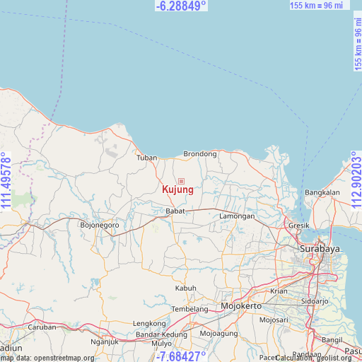
Kujung GPS coordinates[2]
6° 59' 12.84" South, 112° 11' 56.04" East
| Map corner | latitude | longitude |
|---|---|---|
| Upper-left | -6.28849°, | 111.49578° |
| Center: | -6.9869°, | 112.1989° |
| Lower-right: | -7.68427°, | 112.90203° |
| Map W x H: | 155.2×155.2 km | = 96.4×96.4mi |
| max Lat: | 5.88969° ⇑32.8% North |
| Kujung: | -6.9869° |
| min Lat: | ⇓67.2% South -10.934° |
| min Long | Kujung | max Long |
| 95.1345° | 112.1989° | 140.9419° |
| W 51.5%⇐ | ⇒48.5% E |
Elevation
Elevation of Kujung is 12 m = 39 ft, and this is 217.7 m = 714 ft below average elevation for this country.
| Max E: |
3185 m = 10449 ft | 87.7% |
| Avg. | 229.7 m = 754 ft | |
| Kujung | 12 m = 39 ft | |
Min E: |
-1 m = -3 ft | 12.3% |
See also: Indonesia elevation on elevation.city.
Geographical zone
Kujung is located in South Torrid zone (between Equator and Tropic of Capricorn). Distance of Equator is 776.9 km =482.7 mi to North.| Distance of | km | miles | from Kujung |
|---|---|---|---|
| Equator | 776.9 | 482.7 | to North |
| Tropic Capricorn | 1829 | 1136.5 | to South |
| Antarctic Circle | 6624.3 | 4116.1 | to South |
| South Pole | 9230.2 | 5735.4 | to South |


Nearby cities:
15 places around Kujung: (largest is in red/bold)
• Boho
8.9 km =5.5 mi,  7°
7°
• Dateng
3.8 km =2.4 mi,  72°
72°
• Gelap
4.5 km =2.8 mi, 72°
• Jabung
3.5 km =2.2 mi,  107°
107°
• Karang Lor
8 km =5 mi,  337°
337°
• Lembor
7.7 km =4.8 mi,  30°
30°
• Leran Wetan
8.6 km =5.3 mi,  325°
325°
• Mlangi
2.1 km =1.3 mi,  232°
232°
• Ngimbang
6.6 km =4.1 mi,  293°
293°
• Pelangwot
8.9 km =5.5 mi,  89°
89°
• Sendangharjo
8.8 km =5.5 mi, 31°
• Setro
7.1 km =4.4 mi,  349°
349°
• Sidomukti
8.8 km =5.5 mi,  358°
358°
• Sumberjo
3.7 km =2.3 mi,  251°
251°
• Wangun
7.4 km =4.6 mi, 330°
Sources, notices
• [Note1] Compared only with cities in Indonesia existing in our database
• [Src1] Map data: © OpenStreetMap contributors (CC-BY-SA)
• [Src2] Other city data from geonames.org with taken over terms of usage.
• [Src3] Geographical zone / Annual Mean Temperature by Robert A. Rohde @ Wikipedia
