Para geodata
Para (East Nusa Tenggara) is a seat of a fourth-order administrative division; located in Indonesia in Asia/Makassar (GMT+8) time zone. In our database, there are 407 cities with bigger population. Compared to other cities in Indonesia, 99.1% of cities are located further ↑North; 87.3% of cities are located further ←West and 86.4% of cities have higher elevation than Para. Note1


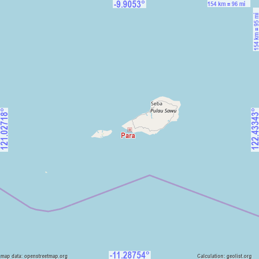
Para GPS coordinates[2]
10° 35' 49.92" South, 121° 43' 49.08" East
| Map corner | latitude | longitude |
|---|---|---|
| Upper-left | -9.9053°, | 121.02718° |
| Center: | -10.5972°, | 121.7303° |
| Lower-right: | -11.28754°, | 122.43343° |
| Map W x H: | 153.7×153.7 km | = 95.5×95.5mi |
| max Lat: | 5.88969° ⇑99.1% North |
| Para: | -10.5972° |
| min Lat: | ⇓0.9% South -10.934° |
| min Long | Para | max Long |
| 95.1345° | 121.7303° | 140.9419° |
| W 87.3%⇐ | ⇒12.7% E |
Elevation
Elevation of Para is 13 m = 43 ft, and this is 216.7 m = 711 ft below average elevation for this country.
| Max E: |
3185 m = 10449 ft | 86.4% |
| Avg. | 229.7 m = 754 ft | |
| Para | 13 m = 43 ft | |
Min E: |
-1 m = -3 ft | 13.6% |
See also: Indonesia elevation on elevation.city.
Geographical zone
Para is located in South Torrid zone (between Equator and Tropic of Capricorn). Distance of Equator is 1178.3 km =732.2 mi to North.| Distance of | km | miles | from Para |
|---|---|---|---|
| Equator | 1178.3 | 732.2 | to North |
| Tropic Capricorn | 1427.6 | 887.1 | to South |
| Antarctic Circle | 6222.9 | 3866.7 | to South |
| South Pole | 8828.8 | 5486 | to South |


Nearby cities:
15 places around Para: (largest is in red/bold)
• Aimadamodo
8.5 km =5.3 mi,  78°
78°
• Danidehe
10 km =6.2 mi,  96°
96°
• Danirai
2.8 km =1.7 mi,  19°
19°
• Gelanalalu
5.9 km =3.7 mi, 96°
• Lederaba
2.8 km =1.7 mi,  340°
340°
• Ledeunu
13.1 km =8.1 mi,  265°
265°
• Lenakapa
2.8 km =1.7 mi, 99°
• Ligu
6.8 km =4.2 mi,  25°
25°
• Mehona
11.3 km =7 mi,  88°
88°
• Pudi
3.1 km =1.9 mi,  73°
73°
• Raehawu
13.1 km =8.1 mi,  57°
57°
• Raeliu
12.8 km =8 mi,  43°
43°
• Raenalulu
9.9 km =6.2 mi, 65°
• Ubajami
10.9 km =6.8 mi, 36°
• Ujudima
13.4 km =8.3 mi,  264°
264°
Sources, notices
• [Note1] Compared only with cities in Indonesia existing in our database
• [Src1] Map data: © OpenStreetMap contributors (CC-BY-SA)
• [Src2] Other city data from geonames.org with taken over terms of usage.
• [Src3] Geographical zone / Annual Mean Temperature by Robert A. Rohde @ Wikipedia
