Oro geodata
Oro (East Java) is a seat of a fourth-order administrative division; located in Indonesia in Asia/Jakarta (GMT+7) time zone. In our database, there are 407 cities with bigger population. Compared to other cities in Indonesia, 68% of cities are located further ↓South; 66% of cities are located further ←West and 58.8% of cities have higher elevation than Oro. Note1


Oro GPS coordinates[2]
6° 58' 29.28" South, 113° 50' 11.76" East
| Map corner | latitude | longitude |
|---|---|---|
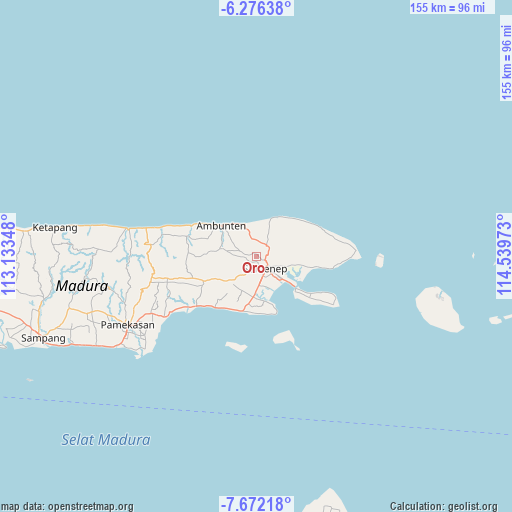
| Upper-left | -6.27638°, | 113.13348° |
| Center: | -6.9748°, | 113.8366° |
| Lower-right: | -7.67218°, | 114.53973° |
| Map W x H: | 155.2×155.2 km | = 96.4×96.4mi |
| max Lat: | 5.88969° ⇑32% North |
| Oro: | -6.9748° |
| min Lat: | ⇓68% South -10.934° |
| min Long | Oro | max Long |
| 95.1345° | 113.8366° | 140.9419° |
| W 66%⇐ | ⇒34% E |
Elevation
Elevation of Oro is 64 m = 210 ft, and this is 165.7 m = 544 ft below average elevation for this country.
| Max E: |
3185 m = 10449 ft | 58.8% |
| Avg. | 229.7 m = 754 ft | |
| Oro | 64 m = 210 ft | |
Min E: |
-1 m = -3 ft | 41.2% |
See also: Indonesia elevation on elevation.city.
Geographical zone
Oro is located in South Torrid zone (between Equator and Tropic of Capricorn). Distance of Equator is 775.5 km =481.9 mi to North.| Distance of | km | miles | from Oro |
|---|---|---|---|
| Equator | 775.5 | 481.9 | to North |
| Tropic Capricorn | 1830.4 | 1137.4 | to South |
| Antarctic Circle | 6625.6 | 4117 | to South |
| South Pole | 9231.5 | 5736.2 | to South |


Nearby cities:
15 places around Oro: (largest is in red/bold)
• Banakaja
3.9 km =2.4 mi,  268°
268°
• Banasare Barat
4.1 km =2.5 mi,  287°
287°
• Cangkreng
0.9 km =0.6 mi,  62°
62°
• Daja
5.1 km =3.2 mi,  303°
303°
• Ganjur
2.7 km =1.7 mi,  103°
103°
• Giring Barat
3.6 km =2.2 mi,  75°
75°
• Gununglajang
3.2 km =2 mi,  353°
353°
• Jungjungan
4.5 km =2.8 mi,  2°
2°
• Keleleng
2.5 km =1.6 mi,  229°
229°
• Kleker
1.7 km =1.1 mi, 302°
• Mandala
4.5 km =2.8 mi,  107°
107°
• Manding
4.6 km =2.9 mi, 57°
• Padusan
5.1 km =3.2 mi,  123°
123°
• Pangtinggi
5.1 km =3.2 mi,  66°
66°
• Senmasen
3.5 km =2.2 mi, 116°
Sources, notices
• [Note1] Compared only with cities in Indonesia existing in our database
• [Src1] Map data: © OpenStreetMap contributors (CC-BY-SA)
• [Src2] Other city data from geonames.org with taken over terms of usage.
• [Src3] Geographical zone / Annual Mean Temperature by Robert A. Rohde @ Wikipedia
