Sekolan geodata
Sekolan (East Java) is a seat of a fourth-order administrative division; located in Indonesia in Asia/Jakarta (GMT+7) time zone. In our database, there are 407 cities with bigger population. Compared to other cities in Indonesia, 69.7% of cities are located further ↓South; 67.5% of cities are located further ←West and 66.1% of cities have higher elevation than Sekolan. Note1


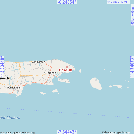
Sekolan GPS coordinates[2]
6° 56' 49.2" South, 114° 2' 15.36" East
| Map corner | latitude | longitude |
|---|---|---|
| Upper-left | -6.24854°, | 113.33448° |
| Center: | -6.947°, | 114.0376° |
| Lower-right: | -7.64443°, | 114.74073° |
| Map W x H: | 155.2×155.2 km | = 96.4×96.4mi |
| max Lat: | 5.88969° ⇑30.3% North |
| Sekolan: | -6.947° |
| min Lat: | ⇓69.7% South -10.934° |
| min Long | Sekolan | max Long |
| 95.1345° | 114.0376° | 140.9419° |
| W 67.5%⇐ | ⇒32.5% E |
Elevation
Elevation of Sekolan is 40 m = 131 ft, and this is 189.7 m = 622 ft below average elevation for this country.
| Max E: |
3185 m = 10449 ft | 66.1% |
| Avg. | 229.7 m = 754 ft | |
| Sekolan | 40 m = 131 ft | |
Min E: |
-1 m = -3 ft | 33.9% |
See also: Indonesia elevation on elevation.city.
Geographical zone
Sekolan is located in South Torrid zone (between Equator and Tropic of Capricorn). Distance of Equator is 772.4 km =479.9 mi to North.| Distance of | km | miles | from Sekolan |
|---|---|---|---|
| Equator | 772.4 | 479.9 | to North |
| Tropic Capricorn | 1833.5 | 1139.3 | to South |
| Antarctic Circle | 6628.7 | 4118.9 | to South |
| South Pole | 9234.6 | 5738.1 | to South |


Nearby cities:
15 places around Sekolan: (largest is in red/bold)
• Ares Tengah
2.7 km =1.7 mi,  34°
34°
• Ares Tengah
3.5 km =2.2 mi,  263°
263°
• Bungin-Bungin
5 km =3.1 mi,  78°
78°
• Daja Lorong
5 km =3.1 mi,  122°
122°
• Ginyang
3.7 km =2.3 mi,  135°
135°
• Jerukporot
4.1 km =2.5 mi,  280°
280°
• Jurangara
3.8 km =2.4 mi,  220°
220°
• Kalerker
3.2 km =2 mi,  357°
357°
• Karangkeng
2.8 km =1.7 mi,  311°
311°
• Ngabungan
1.7 km =1.1 mi,  226°
226°
• Pandian
3.1 km =1.9 mi,  50°
50°
• Petong
3.2 km =2 mi,  204°
204°
• Poja
1.7 km =1.1 mi,  189°
189°
• Samburat
4.3 km =2.7 mi,  0°
0°
• Tekay
4.4 km =2.7 mi,  350°
350°
Sources, notices
• [Note1] Compared only with cities in Indonesia existing in our database
• [Src1] Map data: © OpenStreetMap contributors (CC-BY-SA)
• [Src2] Other city data from geonames.org with taken over terms of usage.
• [Src3] Geographical zone / Annual Mean Temperature by Robert A. Rohde @ Wikipedia
