Wahawaha geodata
Wahawaha (East Nusa Tenggara) is a seat of a fourth-order administrative division; located in Indonesia in Asia/Makassar (GMT+8) time zone. In our database, there are 407 cities with bigger population. Compared to other cities in Indonesia, 69.5% of cities are located further ↑North; 96.8% of cities are located further ←West and 87.7% of cities have lower elevation than Wahawaha. Note1


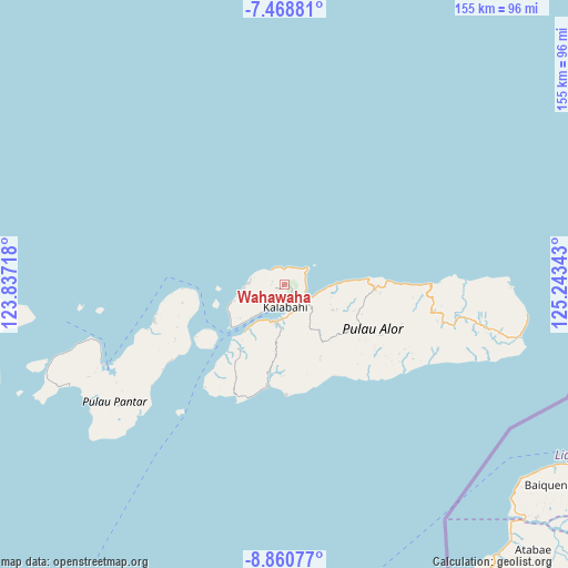
Wahawaha GPS coordinates[2]
8° 9' 55.44" South, 124° 32' 25.08" East
| Map corner | latitude | longitude |
|---|---|---|
| Upper-left | -7.46881°, | 123.83718° |
| Center: | -8.1654°, | 124.5403° |
| Lower-right: | -8.86077°, | 125.24343° |
| Map W x H: | 154.8×154.8 km | = 96.2×96.2mi |
| max Lat: | 5.88969° ⇑69.5% North |
| Wahawaha: | -8.1654° |
| min Lat: | ⇓30.5% South -10.934° |
| min Long | Wahawaha | max Long |
| 95.1345° | 124.5403° | 140.9419° |
| W 96.8%⇐ | ⇒3.2% E |
Elevation
Elevation of Wahawaha is 576 m = 1890 ft, and this is 346.3 m = 1136 ft above average elevation for this country.
| Max E: |
3185 m = 10449 ft | 12.3% |
| Wahawaha | 576 m 1890 ft | |
| Avg. | 229.7 m = 754 ft | |
Min E: |
-1 m = -3 ft | 87.7% |
See also: Indonesia elevation on elevation.city.
Geographical zone
Wahawaha is located in South Torrid zone (between Equator and Tropic of Capricorn). Distance of Equator is 907.9 km =564.1 mi to North.| Distance of | km | miles | from Wahawaha |
|---|---|---|---|
| Equator | 907.9 | 564.1 | to North |
| Tropic Capricorn | 1698 | 1055.1 | to South |
| Antarctic Circle | 6493.3 | 4034.7 | to South |
| South Pole | 9099.2 | 5654 | to South |


Nearby cities:
15 places around Wahawaha: (largest is in red/bold)
• Aloindonu
3.7 km =2.3 mi,  283°
283°
• Batutanata
5.7 km =3.5 mi,  196°
196°
• Binongko
6.6 km =4.1 mi,  206°
206°
• Buyungta
5.7 km =3.5 mi,  87°
87°
• Doibang
5.5 km =3.4 mi,  231°
231°
• Jembayan Hitam
6.2 km =3.9 mi,  177°
177°
• Kalabahi
5.6 km =3.5 mi,  173°
173°
• Kamentaha
8.6 km =5.3 mi,  114°
114°
• Kampungraja
6.2 km =3.9 mi, 204°
• Kenarilang
7.5 km =4.7 mi, 214°
• Kokar
10.2 km =6.3 mi,  271°
271°
• Moru
10.5 km =6.5 mi, 195°
• Tongbang
5.4 km =3.4 mi, 181°
• Watatuku
5.6 km =3.5 mi,  157°
157°
• Welai
8.1 km =5 mi, 164°
Sources, notices
• [Note1] Compared only with cities in Indonesia existing in our database
• [Src1] Map data: © OpenStreetMap contributors (CC-BY-SA)
• [Src2] Other city data from geonames.org with taken over terms of usage.
• [Src3] Geographical zone / Annual Mean Temperature by Robert A. Rohde @ Wikipedia
