Lewopao geodata
Lewopao (East Nusa Tenggara) is a seat of a fourth-order administrative division; located in Indonesia in Asia/Makassar (GMT+8) time zone. In our database, there are 407 cities with bigger population. Compared to other cities in Indonesia, 79.8% of cities are located further ↑North; 91.6% of cities are located further ←West and 51.4% of cities have higher elevation than Lewopao. Note1


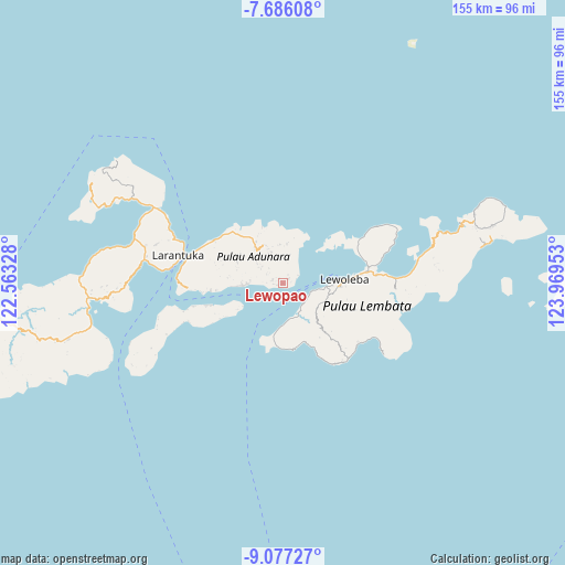
Lewopao GPS coordinates[2]
8° 22' 56.28" South, 123° 15' 59.04" East
| Map corner | latitude | longitude |
|---|---|---|
| Upper-left | -7.68608°, | 122.56328° |
| Center: | -8.3823°, | 123.2664° |
| Lower-right: | -9.07727°, | 123.96953° |
| Map W x H: | 154.7×154.7 km | = 96.1×96.1mi |
| max Lat: | 5.88969° ⇑79.8% North |
| Lewopao: | -8.3823° |
| min Lat: | ⇓20.2% South -10.934° |
| min Long | Lewopao | max Long |
| 95.1345° | 123.2664° | 140.9419° |
| W 91.6%⇐ | ⇒8.4% E |
Elevation
Elevation of Lewopao is 97 m = 318 ft, and this is 132.7 m = 435 ft below average elevation for this country.
| Max E: |
3185 m = 10449 ft | 51.4% |
| Avg. | 229.7 m = 754 ft | |
| Lewopao | 97 m = 318 ft | |
Min E: |
-1 m = -3 ft | 48.6% |
See also: Indonesia elevation on elevation.city.
Geographical zone
Lewopao is located in South Torrid zone (between Equator and Tropic of Capricorn). Distance of Equator is 932 km =579.1 mi to North.| Distance of | km | miles | from Lewopao |
|---|---|---|---|
| Equator | 932 | 579.1 | to North |
| Tropic Capricorn | 1673.9 | 1040.1 | to South |
| Antarctic Circle | 6469.1 | 4019.7 | to South |
| South Pole | 9075 | 5638.9 | to South |


Nearby cities:
15 places around Lewopao: (largest is in red/bold)
• Boleng
3.2 km =2 mi,  91°
91°
• Gayak
3.3 km =2.1 mi,  79°
79°
• Kuyalewun
2.9 km =1.8 mi,  283°
283°
• Lamalouk
7.4 km =4.6 mi,  309°
309°
• Lamawolo
1.9 km =1.2 mi,  257°
257°
• Lewoblolong
7.6 km =4.7 mi,  10°
10°
• Lewoduli
5.5 km =3.4 mi, 305°
• Lewolen
7.3 km =4.5 mi,  302°
302°
• Lidang A
0.9 km =0.6 mi, 283°
• Nihaona
3.2 km =2 mi,  287°
287°
• Pukaona B
1.9 km =1.2 mi,  48°
48°
• Riangblolong
7.8 km =4.8 mi,  348°
348°
• Riangderi
4.5 km =2.8 mi,  61°
61°
• Riangwale
2.7 km =1.7 mi,  265°
265°
• Senadan
1 km =0.6 mi,  249°
249°
Sources, notices
• [Note1] Compared only with cities in Indonesia existing in our database
• [Src1] Map data: © OpenStreetMap contributors (CC-BY-SA)
• [Src2] Other city data from geonames.org with taken over terms of usage.
• [Src3] Geographical zone / Annual Mean Temperature by Robert A. Rohde @ Wikipedia
