Idi Cut geodata
Idi Cut (Aceh) is a seat of a third-order administrative division; located in Indonesia in Asia/Jakarta (GMT+7) time zone. In our database, there are 407 cities with bigger population. Compared to other cities in Indonesia, 99.5% of cities are located further ↓South; 98.7% of cities are located further →East and 87.7% of cities have higher elevation than Idi Cut. Note1


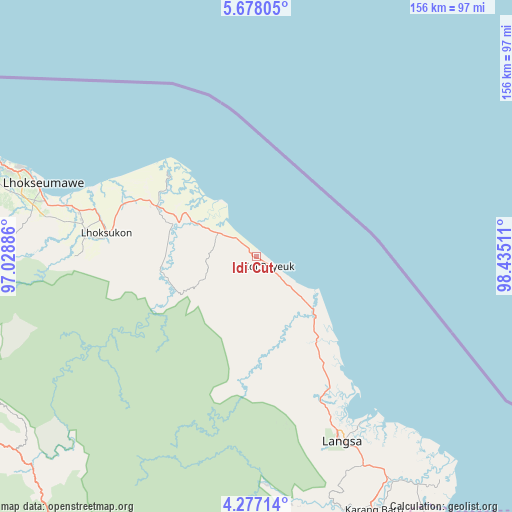
Idi Cut GPS coordinates[2]
4° 58' 40.692" North, 97° 43' 55.128" East
| Map corner | latitude | longitude |
|---|---|---|
| Upper-left | 5.67805°, | 97.02886° |
| Center: | 4.97797°, | 97.73198° |
| Lower-right: | 4.27714°, | 98.43511° |
| Map W x H: | 155.8×155.8 km | = 96.8×96.8mi |
| max Lat: | 5.88969° ⇑0.5% North |
| Idi Cut: | 4.97797° |
| min Lat: | ⇓99.5% South -10.934° |
| min Long | Idi Cut | max Long |
| 95.1345° | 97.73198° | 140.9419° |
| W 1.3%⇐ | ⇒98.7% E |
Elevation
Elevation of Idi Cut is 12 m = 39 ft, and this is 217.7 m = 714 ft below average elevation for this country.
| Max E: |
3185 m = 10449 ft | 87.7% |
| Avg. | 229.7 m = 754 ft | |
| Idi Cut | 12 m = 39 ft | |
Min E: |
-1 m = -3 ft | 12.3% |
See also: Indonesia elevation on elevation.city.
Geographical zone
Idi Cut is located in North Torrid zone (between Equator and Tropic of Cancer). Distance of Equator is 553.5 km =343.9 mi to South.| Distance of | km | miles | from Idi Cut |
|---|---|---|---|
| North Pole | 9453.6 | 5874.2 | to North |
| Arctic Circle | 6847.7 | 4255 | to North |
| Tropic Cancer | 2052.4 | 1275.3 | to North |
| Equator | 553.5 | 343.9 | to South |


Nearby cities:
15 places around Idi Cut: (largest is in red/bold)
• Bagok
8.2 km =5.1 mi,  245°
245°
• Bayeuen
47.4 km =29.5 mi,  155°
155°
• Beusa Seberang
18.1 km =11.2 mi,  129°
129°
• Buket Teukuh
20.5 km =12.7 mi,  203°
203°
• Idi Rayeuk
8.4 km =5.2 mi, 128°
• Kota Binjai
15.6 km =9.7 mi,  299°
299°
• Matangkuli
50 km =31.1 mi,  276°
276°
• Matangpayang
55.9 km =34.7 mi,  287°
287°
• Penaron
37.9 km =23.5 mi,  188°
188°
• Peureulak
25.6 km =15.9 mi,  136°
136°
• Rantau Panjang
28 km =17.4 mi,  174°
174°
• Seuneubok Bayu
20.7 km =12.9 mi,  237°
237°
• Seunudon
40.5 km =25.2 mi,  309°
309°
• Simpang Ulim
24.7 km =15.3 mi, 310°
• Sungai Raya
31.3 km =19.4 mi, 140°
Sources, notices
• [Note1] Compared only with cities in Indonesia existing in our database
• [Src1] Map data: © OpenStreetMap contributors (CC-BY-SA)
• [Src2] Other city data from geonames.org with taken over terms of usage.
• [Src3] Geographical zone / Annual Mean Temperature by Robert A. Rohde @ Wikipedia
