Sidayu geodata
Sidayu (East Java) is a seat of a third-order administrative division; located in Indonesia in Asia/Jakarta (GMT+7) time zone. In our database, there are 407 cities with bigger population. Compared to other cities in Indonesia, 66.2% of cities are located further ↓South; 55.6% of cities are located further ←West and 85.2% of cities have higher elevation than Sidayu. Note1


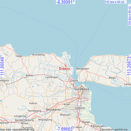
Sidayu GPS coordinates[2]
6° 59' 57.48" South, 112° 33' 48.96" East
| Map corner | latitude | longitude |
|---|---|---|
| Upper-left | -6.30091°, | 111.86048° |
| Center: | -6.9993°, | 112.5636° |
| Lower-right: | -7.69665°, | 113.26673° |
| Map W x H: | 155.2×155.2 km | = 96.4×96.4mi |
| max Lat: | 5.88969° ⇑33.8% North |
| Sidayu: | -6.9993° |
| min Lat: | ⇓66.2% South -10.934° |
| min Long | Sidayu | max Long |
| 95.1345° | 112.5636° | 140.9419° |
| W 55.6%⇐ | ⇒44.4% E |
Elevation
Elevation of Sidayu is 14 m = 46 ft, and this is 215.7 m = 708 ft below average elevation for this country.
| Max E: |
3185 m = 10449 ft | 85.2% |
| Avg. | 229.7 m = 754 ft | |
| Sidayu | 14 m = 46 ft | |
Min E: |
-1 m = -3 ft | 14.8% |
See also: Indonesia elevation on elevation.city.
Geographical zone
Sidayu is located in South Torrid zone (between Equator and Tropic of Capricorn). Distance of Equator is 778.2 km =483.6 mi to North.| Distance of | km | miles | from Sidayu |
|---|---|---|---|
| Equator | 778.2 | 483.6 | to North |
| Tropic Capricorn | 1827.7 | 1135.7 | to South |
| Antarctic Circle | 6622.9 | 4115.3 | to South |
| South Pole | 9228.8 | 5734.5 | to South |


Nearby cities:
15 places around Sidayu: (largest is in red/bold)
• Asemanis
1.3 km =0.8 mi,  87°
87°
• Asempapak
0.5 km =0.3 mi,  7°
7°
• Bunderan
1 km =0.6 mi,  345°
345°
• Golokan
3.6 km =2.2 mi,  310°
310°
• Kauman
1 km =0.6 mi,  357°
357°
• Mojoasem
1.1 km =0.7 mi,  72°
72°
• Mriyunan
1.1 km =0.7 mi,  16°
16°
• Pengulu
1.3 km =0.8 mi, 359°
• Purwodadi
1.5 km =0.9 mi, 354°
• Raci Kulon
2.3 km =1.4 mi,  266°
266°
• Randuboto
2 km =1.2 mi,  103°
103°
• Sedagaran
1.5 km =0.9 mi, 6°
• Sidomulyo
0.7 km =0.4 mi, 7°
• Sidomulyo
3.8 km =2.4 mi,  339°
339°
• Srowo
1.7 km =1.1 mi,  2°
2°
Sources, notices
• [Note1] Compared only with cities in Indonesia existing in our database
• [Src1] Map data: © OpenStreetMap contributors (CC-BY-SA)
• [Src2] Other city data from geonames.org with taken over terms of usage.
• [Src3] Geographical zone / Annual Mean Temperature by Robert A. Rohde @ Wikipedia
