Sampungu geodata
Sampungu (West Nusa Tenggara) is a seat of a fourth-order administrative division; located in Indonesia in Asia/Makassar (GMT+8) time zone. In our database, there are 407 cities with bigger population. Compared to other cities in Indonesia, 75% of cities are located further ↑North; 79.8% of cities are located further ←West and 77.1% of cities have higher elevation than Sampungu. Note1


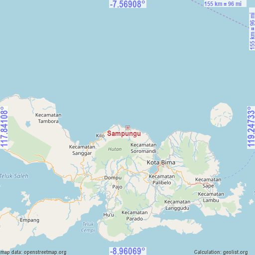
Sampungu GPS coordinates[2]
8° 15' 55.8" South, 118° 32' 39.12" East
| Map corner | latitude | longitude |
|---|---|---|
| Upper-left | -7.56908°, | 117.84108° |
| Center: | -8.2655°, | 118.5442° |
| Lower-right: | -8.96069°, | 119.24733° |
| Map W x H: | 154.7×154.7 km | = 96.1×96.1mi |
| max Lat: | 5.88969° ⇑75% North |
| Sampungu: | -8.2655° |
| min Lat: | ⇓25% South -10.934° |
| min Long | Sampungu | max Long |
| 95.1345° | 118.5442° | 140.9419° |
| W 79.8%⇐ | ⇒20.2% E |
Elevation
Elevation of Sampungu is 22 m = 72 ft, and this is 207.7 m = 681 ft below average elevation for this country.
| Max E: |
3185 m = 10449 ft | 77.1% |
| Avg. | 229.7 m = 754 ft | |
| Sampungu | 22 m = 72 ft | |
Min E: |
-1 m = -3 ft | 22.9% |
See also: Indonesia elevation on elevation.city.
Geographical zone
Sampungu is located in South Torrid zone (between Equator and Tropic of Capricorn). Distance of Equator is 919 km =571 mi to North.| Distance of | km | miles | from Sampungu |
|---|---|---|---|
| Equator | 919 | 571 | to North |
| Tropic Capricorn | 1686.9 | 1048.2 | to South |
| Antarctic Circle | 6482.1 | 4027.8 | to South |
| South Pole | 9088 | 5647 | to South |


Nearby cities:
15 places around Sampungu: (largest is in red/bold)
• Donggo
18.6 km =11.6 mi,  162°
162°
• Kolo
22.6 km =14 mi,  121°
121°
• Lasi Dua
16.1 km =10 mi,  255°
255°
• Malaju
17.3 km =10.7 mi,  253°
253°
• Manggekompo
18.7 km =11.6 mi,  154°
154°
• Manggenae
20 km =12.4 mi, 156°
• Nangaraba
25.3 km =15.7 mi,  102°
102°
• Oo
18.3 km =11.4 mi, 161°
• Palama
23.3 km =14.5 mi,  181°
181°
• Rora
23.8 km =14.8 mi,  188°
188°
• Rora Timur
25.5 km =15.8 mi,  195°
195°
• Sai
13.8 km =8.6 mi,  113°
113°
• Saneo
25.1 km =15.6 mi, 204°
• Sangari
20 km =12.4 mi,  168°
168°
• Sowa
20.2 km =12.6 mi,  127°
127°
Sources, notices
• [Note1] Compared only with cities in Indonesia existing in our database
• [Src1] Map data: © OpenStreetMap contributors (CC-BY-SA)
• [Src2] Other city data from geonames.org with taken over terms of usage.
• [Src3] Geographical zone / Annual Mean Temperature by Robert A. Rohde @ Wikipedia
