Nangaraba geodata
Nangaraba (West Nusa Tenggara) is a seat of a fourth-order administrative division; located in Indonesia in Asia/Makassar (GMT+8) time zone. In our database, there are 407 cities with bigger population. Compared to other cities in Indonesia, 77.5% of cities are located further ↑North; 80.2% of cities are located further ←West and 81.9% of cities have higher elevation than Nangaraba. Note1


Nangaraba GPS coordinates[2]
8° 18' 55.44" South, 118° 46' 5.16" East
| Map corner | latitude | longitude |
|---|---|---|
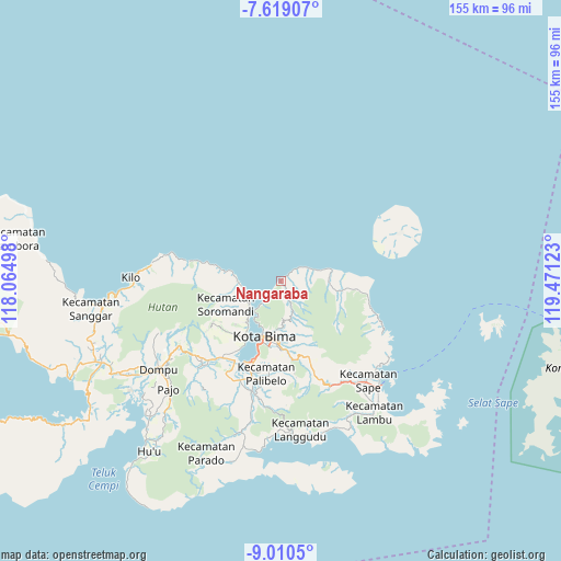
| Upper-left | -7.61907°, | 118.06498° |
| Center: | -8.3154°, | 118.7681° |
| Lower-right: | -9.0105°, | 119.47123° |
| Map W x H: | 154.7×154.7 km | = 96.1×96.1mi |
| max Lat: | 5.88969° ⇑77.5% North |
| Nangaraba: | -8.3154° |
| min Lat: | ⇓22.5% South -10.934° |
| min Long | Nangaraba | max Long |
| 95.1345° | 118.7681° | 140.9419° |
| W 80.2%⇐ | ⇒19.8% E |
Elevation
Elevation of Nangaraba is 17 m = 56 ft, and this is 212.7 m = 698 ft below average elevation for this country.
| Max E: |
3185 m = 10449 ft | 81.9% |
| Avg. | 229.7 m = 754 ft | |
| Nangaraba | 17 m = 56 ft | |
Min E: |
-1 m = -3 ft | 18.1% |
See also: Indonesia elevation on elevation.city.
Geographical zone
Nangaraba is located in South Torrid zone (between Equator and Tropic of Capricorn). Distance of Equator is 924.6 km =574.5 mi to North.| Distance of | km | miles | from Nangaraba |
|---|---|---|---|
| Equator | 924.6 | 574.5 | to North |
| Tropic Capricorn | 1681.3 | 1044.7 | to South |
| Antarctic Circle | 6476.6 | 4024.4 | to South |
| South Pole | 9082.5 | 5643.6 | to South |


Nearby cities:
15 places around Nangaraba: (largest is in red/bold)
• Bantawora
13.9 km =8.6 mi,  94°
94°
• Bente
4.2 km =2.6 mi,  158°
158°
• Bima
16.7 km =10.4 mi,  195°
195°
• Kara
16.8 km =10.4 mi,  99°
99°
• Keli
9 km =5.6 mi, 157°
• Kolo
8.3 km =5.2 mi,  220°
220°
• Lela
14 km =8.7 mi,  187°
187°
• Mawu
8.4 km =5.2 mi,  64°
64°
• Ntobo
15 km =9.3 mi,  175°
175°
• Penanae
16.1 km =10 mi, 181°
• Penaraga
16.8 km =10.4 mi, 183°
• Raba
16.4 km =10.2 mi, 188°
• Sai
12 km =7.5 mi,  269°
269°
• Sowa
10.8 km =6.7 mi,  232°
232°
• Tawali
16.4 km =10.2 mi, 99°
Sources, notices
• [Note1] Compared only with cities in Indonesia existing in our database
• [Src1] Map data: © OpenStreetMap contributors (CC-BY-SA)
• [Src2] Other city data from geonames.org with taken over terms of usage.
• [Src3] Geographical zone / Annual Mean Temperature by Robert A. Rohde @ Wikipedia
