Patemon geodata
Patemon (East Java) is a seat of a fourth-order administrative division; located in Indonesia in Asia/Jakarta (GMT+7) time zone. In our database, there are 407 cities with bigger population. Compared to other cities in Indonesia, 68.7% of cities are located further ↑North; 61.7% of cities are located further ←West and 68.4% of cities have higher elevation than Patemon. Note1


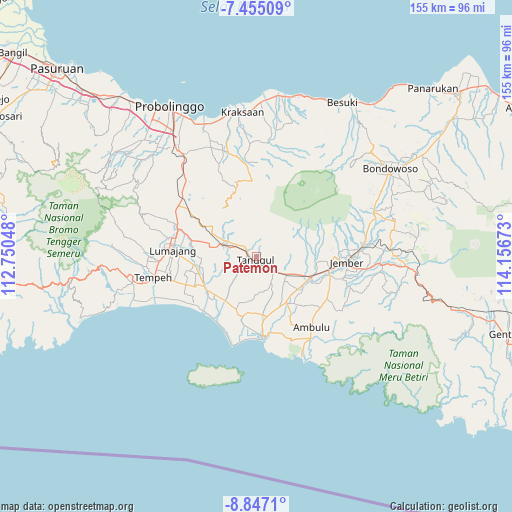
Patemon GPS coordinates[2]
8° 9' 6.12" South, 113° 27' 12.96" East
| Map corner | latitude | longitude |
|---|---|---|
| Upper-left | -7.45509°, | 112.75048° |
| Center: | -8.1517°, | 113.4536° |
| Lower-right: | -8.8471°, | 114.15673° |
| Map W x H: | 154.8×154.8 km | = 96.2×96.2mi |
| max Lat: | 5.88969° ⇑68.7% North |
| Patemon: | -8.1517° |
| min Lat: | ⇓31.3% South -10.934° |
| min Long | Patemon | max Long |
| 95.1345° | 113.4536° | 140.9419° |
| W 61.7%⇐ | ⇒38.3% E |
Elevation
Elevation of Patemon is 35 m = 115 ft, and this is 194.7 m = 639 ft below average elevation for this country.
| Max E: |
3185 m = 10449 ft | 68.4% |
| Avg. | 229.7 m = 754 ft | |
| Patemon | 35 m = 115 ft | |
Min E: |
-1 m = -3 ft | 31.6% |
See also: Indonesia elevation on elevation.city.
Geographical zone
Patemon is located in South Torrid zone (between Equator and Tropic of Capricorn). Distance of Equator is 906.4 km =563.2 mi to North.| Distance of | km | miles | from Patemon |
|---|---|---|---|
| Equator | 906.4 | 563.2 | to North |
| Tropic Capricorn | 1699.5 | 1056 | to South |
| Antarctic Circle | 6494.8 | 4035.7 | to South |
| South Pole | 9100.7 | 5654.9 | to South |


Nearby cities:
15 places around Patemon: (largest is in red/bold)
• Curahkalong
6.9 km =4.3 mi,  110°
110°
• Darungan
4.1 km =2.5 mi,  99°
99°
• Karangbayat
6.5 km =4 mi,  325°
325°
• Klatakan
5.7 km =3.5 mi,  136°
136°
• Kramat
2.3 km =1.4 mi,  349°
349°
• Pondokdalem
2.7 km =1.7 mi,  281°
281°
• Pringgowirawan
5.5 km =3.4 mi,  305°
305°
• Rowotengu
3.6 km =2.2 mi,  237°
237°
• Semboro Lor
4.4 km =2.7 mi,  193°
193°
• Semboropasar
6.6 km =4.1 mi, 188°
• Sidomekar
6.7 km =4.2 mi,  172°
172°
• Silodakon
5.7 km =3.5 mi, 108°
• Tanggul
1.4 km =0.9 mi,  184°
184°
• Tanggul Kulon
1.6 km =1 mi,  201°
201°
• Tanggul Wetan
2.9 km =1.8 mi, 139°
Sources, notices
• [Note1] Compared only with cities in Indonesia existing in our database
• [Src1] Map data: © OpenStreetMap contributors (CC-BY-SA)
• [Src2] Other city data from geonames.org with taken over terms of usage.
• [Src3] Geographical zone / Annual Mean Temperature by Robert A. Rohde @ Wikipedia
