Gunungkencana geodata
Gunungkencana (Banten) is a seat of a third-order administrative division; located in Indonesia in Asia/Jakarta (GMT+7) time zone. In our database, there are 407 cities with bigger population. Compared to other cities in Indonesia, 83.1% of cities are located further ↓South; 90% of cities are located further →East and 68.9% of cities have lower elevation than Gunungkencana. Note1


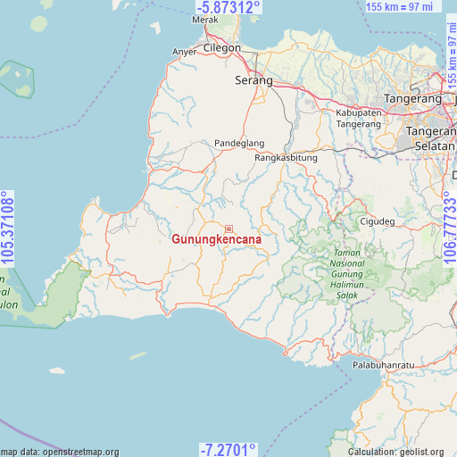
Gunungkencana GPS coordinates[2]
6° 34' 19.56" South, 106° 4' 27.12" East
| Map corner | latitude | longitude |
|---|---|---|
| Upper-left | -5.87312°, | 105.37108° |
| Center: | -6.5721°, | 106.0742° |
| Lower-right: | -7.2701°, | 106.77733° |
| Map W x H: | 155.3×155.3 km | = 96.5×96.5mi |
| max Lat: | 5.88969° ⇑16.9% North |
| Gunungkencana: | -6.5721° |
| min Lat: | ⇓83.1% South -10.934° |
| min Long | Gunungkencana | max Long |
| 95.1345° | 106.0742° | 140.9419° |
| W 10%⇐ | ⇒90% E |
Elevation
Elevation of Gunungkencana is 278 m = 912 ft, and this is 48.3 m = 158 ft above average elevation for this country.
| Max E: |
3185 m = 10449 ft | 31.1% |
| Gunungkencana | 278 m 912 ft | |
| Avg. | 229.7 m = 754 ft | |
Min E: |
-1 m = -3 ft | 68.9% |
See also: Indonesia elevation on elevation.city.
Geographical zone
Gunungkencana is located in South Torrid zone (between Equator and Tropic of Capricorn). Distance of Equator is 730.7 km =454 mi to North.| Distance of | km | miles | from Gunungkencana |
|---|---|---|---|
| Equator | 730.7 | 454 | to North |
| Tropic Capricorn | 1875.2 | 1165.2 | to South |
| Antarctic Circle | 6670.4 | 4144.8 | to South |
| South Pole | 9276.3 | 5764 | to South |


Nearby cities:
15 places around Gunungkencana: (largest is in red/bold)
• Cahayamekar
7.6 km =4.7 mi,  328°
328°
• Cempaka
6.4 km =4 mi,  128°
128°
• Cibeusi
4.8 km =3 mi,  295°
295°
• Cidima
4.4 km =2.7 mi,  238°
238°
• Cihaladan
3.7 km =2.3 mi,  105°
105°
• Cilutung
0.8 km =0.5 mi,  27°
27°
• Kadubetara
6.2 km =3.9 mi,  182°
182°
• Kadurahayu
6 km =3.7 mi,  86°
86°
• Keboncau
6.4 km =4 mi, 28°
• Kebonkalapa
5.6 km =3.5 mi,  249°
249°
• Lebakmasjid
3.9 km =2.4 mi,  159°
159°
• Mangpeng
6.1 km =3.8 mi,  274°
274°
• Parakanlima
7.6 km =4.7 mi,  150°
150°
• Sajir
7.4 km =4.6 mi,  10°
10°
• Tajur
4.8 km =3 mi,  4°
4°
Sources, notices
• [Note1] Compared only with cities in Indonesia existing in our database
• [Src1] Map data: © OpenStreetMap contributors (CC-BY-SA)
• [Src2] Other city data from geonames.org with taken over terms of usage.
• [Src3] Geographical zone / Annual Mean Temperature by Robert A. Rohde @ Wikipedia
