Dopang geodata
Dopang (Central Java) is a seat of a fourth-order administrative division; located in Indonesia in Asia/Jakarta (GMT+7) time zone. In our database, there are 407 cities with bigger population. Compared to other cities in Indonesia, 75.4% of cities are located further ↓South; 63.3% of cities are located further →East and 72.7% of cities have higher elevation than Dopang. Note1


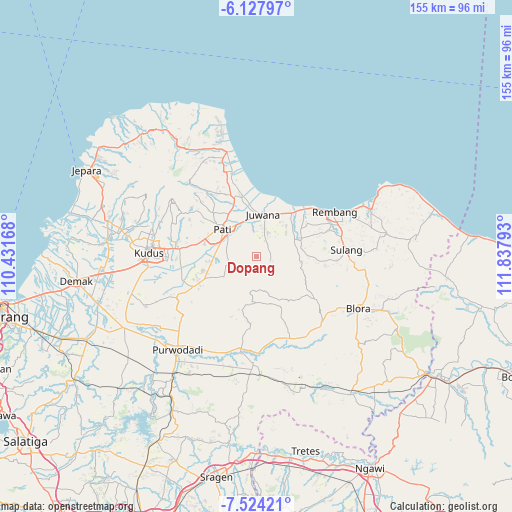
Dopang GPS coordinates[2]
6° 49' 35.76" South, 111° 8' 5.28" East
| Map corner | latitude | longitude |
|---|---|---|
| Upper-left | -6.12797°, | 110.43168° |
| Center: | -6.8266°, | 111.1348° |
| Lower-right: | -7.52421°, | 111.83793° |
| Map W x H: | 155.2×155.3 km | = 96.4×96.5mi |
| max Lat: | 5.88969° ⇑24.6% North |
| Dopang: | -6.8266° |
| min Lat: | ⇓75.4% South -10.934° |
| min Long | Dopang | max Long |
| 95.1345° | 111.1348° | 140.9419° |
| W 36.7%⇐ | ⇒63.3% E |
Elevation
Elevation of Dopang is 28 m = 92 ft, and this is 201.7 m = 662 ft below average elevation for this country.
| Max E: |
3185 m = 10449 ft | 72.7% |
| Avg. | 229.7 m = 754 ft | |
| Dopang | 28 m = 92 ft | |
Min E: |
-1 m = -3 ft | 27.3% |
See also: Indonesia elevation on elevation.city.
Geographical zone
Dopang is located in South Torrid zone (between Equator and Tropic of Capricorn). Distance of Equator is 759 km =471.6 mi to North.| Distance of | km | miles | from Dopang |
|---|---|---|---|
| Equator | 759 | 471.6 | to North |
| Tropic Capricorn | 1846.9 | 1147.6 | to South |
| Antarctic Circle | 6642.1 | 4127.2 | to South |
| South Pole | 9248 | 5746.4 | to South |


Nearby cities:
15 places around Dopang: (largest is in red/bold)
• Balong
4.2 km =2.6 mi,  107°
107°
• Bodeh
1.1 km =0.7 mi,  198°
198°
• Dersah
5.3 km =3.3 mi,  26°
26°
• Guyangan
4.5 km =2.8 mi, 201°
• Jetak
1.5 km =0.9 mi,  338°
338°
• Karang Wetan
4.7 km =2.9 mi,  70°
70°
• Malangan
2.6 km =1.6 mi,  358°
358°
• Manding
1.1 km =0.7 mi,  173°
173°
• Mantingantengah
5.7 km =3.5 mi,  8°
8°
• Padas
6 km =3.7 mi,  130°
130°
• Palemgede
4.9 km =3 mi,  96°
96°
• Pengilon
2.5 km =1.6 mi, 67°
• Ploso
3.2 km =2 mi,  23°
23°
• Sentul
5.3 km =3.3 mi,  38°
38°
• Tegalwero
4.8 km =3 mi,  48°
48°
Sources, notices
• [Note1] Compared only with cities in Indonesia existing in our database
• [Src1] Map data: © OpenStreetMap contributors (CC-BY-SA)
• [Src2] Other city data from geonames.org with taken over terms of usage.
• [Src3] Geographical zone / Annual Mean Temperature by Robert A. Rohde @ Wikipedia
