Ankola geodata
Ankola (West Java) is a seat of a third-order administrative division; located in Indonesia in Asia/Jakarta (GMT+7) time zone. In our database, there are 407 cities with bigger population. Compared to other cities in Indonesia, 50.8% of cities are located further ↓South; 84.8% of cities are located further →East and 86.9% of cities have lower elevation than Ankola. Note1


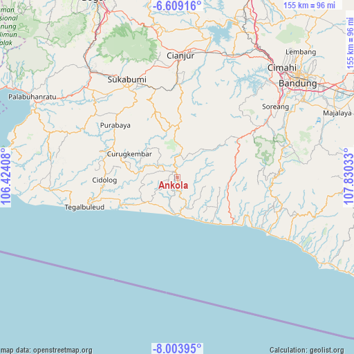
Ankola GPS coordinates[2]
7° 18' 25.56" South, 107° 7' 37.92" East
| Map corner | latitude | longitude |
|---|---|---|
| Upper-left | -6.60916°, | 106.42408° |
| Center: | -7.3071°, | 107.1272° |
| Lower-right: | -8.00395°, | 107.83033° |
| Map W x H: | 155.1×155.1 km | = 96.4×96.4mi |
| max Lat: | 5.88969° ⇑49.2% North |
| Ankola: | -7.3071° |
| min Lat: | ⇓50.8% South -10.934° |
| min Long | Ankola | max Long |
| 95.1345° | 107.1272° | 140.9419° |
| W 15.2%⇐ | ⇒84.8% E |
Elevation
Elevation of Ankola is 555 m = 1821 ft, and this is 325.3 m = 1067 ft above average elevation for this country.
| Max E: |
3185 m = 10449 ft | 13.1% |
| Ankola | 555 m 1821 ft | |
| Avg. | 229.7 m = 754 ft | |
Min E: |
-1 m = -3 ft | 86.9% |
See also: Indonesia elevation on elevation.city.
Geographical zone
Ankola is located in South Torrid zone (between Equator and Tropic of Capricorn). Distance of Equator is 812.5 km =504.9 mi to North.| Distance of | km | miles | from Ankola |
|---|---|---|---|
| Equator | 812.5 | 504.9 | to North |
| Tropic Capricorn | 1793.4 | 1114.4 | to South |
| Antarctic Circle | 6588.7 | 4094 | to South |
| South Pole | 9194.6 | 5713.3 | to South |


Nearby cities:
15 places around Ankola: (largest is in red/bold)
• Bebedahan
5.6 km =3.5 mi,  14°
14°
• Cibinong Satu
1.7 km =1.1 mi,  178°
178°
• Cimanggu
2.2 km =1.4 mi,  247°
247°
• Cireundeu
3.7 km =2.3 mi,  119°
119°
• Gunungbitung
4 km =2.5 mi,  257°
257°
• Pamadangan
5.9 km =3.7 mi, 119°
• Pamoyanan
5.8 km =3.6 mi,  89°
89°
• Pasirmanggu
4.8 km =3 mi,  333°
333°
• Puncakwangi
6.9 km =4.3 mi,  280°
280°
• Rawawilis
5 km =3.1 mi,  306°
306°
• Sinarwangi
3.9 km =2.4 mi,  324°
324°
• Sumur
5.5 km =3.4 mi,  301°
301°
• Tanggeung
4.4 km =2.7 mi,  354°
354°
• Tanggeung Kolot
3.5 km =2.2 mi, 10°
• Tegalpanjang
4.1 km =2.5 mi,  21°
21°
Sources, notices
• [Note1] Compared only with cities in Indonesia existing in our database
• [Src1] Map data: © OpenStreetMap contributors (CC-BY-SA)
• [Src2] Other city data from geonames.org with taken over terms of usage.
• [Src3] Geographical zone / Annual Mean Temperature by Robert A. Rohde @ Wikipedia
